What is recorded here
Located c. 110m N of the Cauteen river, in pasture. A circular enclosure (diam. c. 10m) with an internal fosse, visible on satellite imagery (© Google Earth, imagery date 11 March 2014; 18 November 2018), identified and reported by Tom Condit and by Jean-Charles Caillère. There is a cluster of three ring-barrows (TS050-027----; TS050-028----; TS050-029----) c. 60-75m to the NW. There is also an embanked enclosure (TS050-024----) c. 600m to the NNW and a bowl-barrow (TS050-026----) c. 500m to the N.
See attached:
TS051-053----_01 Google Earth image (imagery date 11 March 2014)
TS051-053----_02 Google Earth image (imagery date 18 November 2018)
Compiled by: Jean Farrelly
Date of upload: 11 January 2022
A Neolithic or early Bronze Age ring-barrow, likely associated with funerary or ritual practices; its internal fosse suggests a ceremonial or defensive function, though wider significance remains unconfirmed.
The monument record does not grant public access. Check the route and ask the landowner before entering private land.
- What survives
- Recorded monument
Places near here
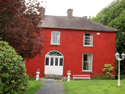 Chadville Househouse · 1277 yd
 Enclosure in KnockphelaghEnclosure · 1629 yd
 Enclosure in LisheenkyleEnclosure · 1.2 mi
 IndicatedCastle, unclassified · 1.2 mi
 Greenfield Househouse · 1.7 mi
 CastleCastle, ringwork · 1.8 mi
 Soloheadbeg Ambushambush · 2.0 mi
 Green Field ParkWood · 2.3 mi
 Oola HillMountain / peak · 2.9 mi
 I.R.A. 3rd. Tipperary Brigade MemorialMemorial · 4.9 mi
 It's a long way to TippereryHeritage attraction · 4.9 mi
 The Maid of ErinMemorial · 5.0 mi