What is recorded here
Situated on fairly level ground, sloping very slightly to S at the edge of a bog which lies immediately to the S. The site is not marked on either the 1st (1840) or 1904 ed. OS 6-inch map but was identified on an aerial photograph taken in June 1973 (GSIAP, S 81/80) as a possible ring-barrow. The site has been levelled but is still clearly visible as a raised circular area (diam. 4.3m) enclosed by a fosse (Wth 2.3m; D 0.29m) and flattened external bank (int. H 0.44m) (overall diam. 10m N-S; 10.3m E-W). Some stone is evident in the bank. At E there is a possible causewayed entrance (Wth c. 2.6m).
The above description is derived from 'The Archaeological Inventory of County Tipperary. Vol. 1 - North Tipperary' compiled by Jean Farrelly and Caimin O'Brien (Dublin: Stationery Office, 2002). In certain instances the entries have been revised and updated in the light of recent research.
Date of upload/revision: 22 September 2008
A ring-barrow, likely dating to the Early Bronze Age. Its location near a bog suggests possible ritual or funerary significance common in prehistoric landscapes.
The monument record does not grant public access. Check the route and ask the landowner before entering private land.
- What survives
- Recorded monument
Places near here
 Man-made underground passage in Cullahill (bourney Par.)Man-made underground passage · 88 yd
 RoadRoad, unclassified togher · 776 yd
 Man-made underground passage in BoolareaghMan-made underground passage · 1.2 mi
 Castle (in Ruins)Bawn · 1.4 mi
 Black HillMountain / peak · 1.6 mi
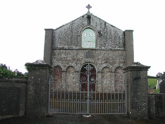 Saint Patrick's Catholic Chapelchurch/chapel · 1.9 mi
 Carricknasrock WoodWood · 1.9 mi
 Bawn in Castlefleming Stubber,garrisonBawn · 3.2 mi
 Clonmeen WoodWood · 4.0 mi
 College HillMountain / peak · 4.8 mi
 Church in Bawnmadrum NorthChurch · 1.9 mi
 Clonmeen Burial GroundChurch · 2.1 mi