What is recorded here
Marked on the 1841 ed OS 6-inch map. Situated on marshy ground midway down a NE-facing slope. A flat-topped circular mound (diam. c. 10m, max. H c. 1.35m) surrounded by a waterlogged and partially infilled fosse (average Wth 2.1m; D 0.7m) which broadens out from SE-SW (max. Wth 3.7m) and is enclosed by a low counterscarp bank (Wth 2.6m, max. ext. H 0.6m). A field boundary skirts the counterscarp at S. Site overgrown with hawthorn and brambles.
The above description is derived from the published 'Archaeological Inventory of County Laois' (Dublin Stationery Office, 1995) compiled by P. David Sweetman, Olive Alcock and Bernie Moran. In certain instances the entries have been revised and updated in the light of recent research.
Date of upload: 17 December 2007
A Neolithic ring-barrow; significant as a rare example of early funerary monument construction in a waterlogged landscape.
The monument record does not grant public access. Check the route and ask the landowner before entering private land.
- What survives
- Recorded monument
Places near here
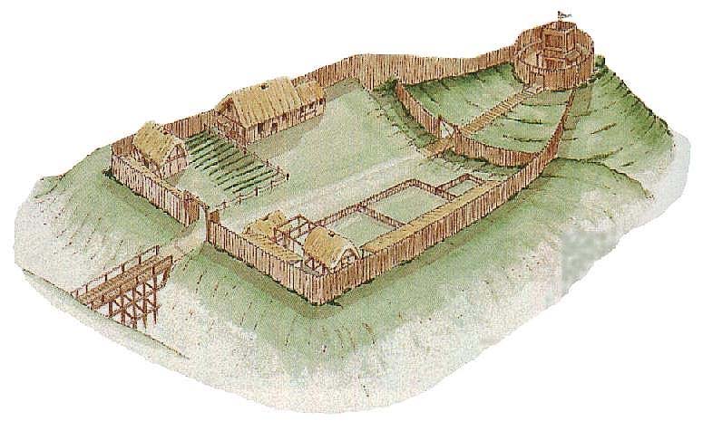 CastleCastle, motte and bailey · 1122 yd
 IndicatedBawn · 1386 yd
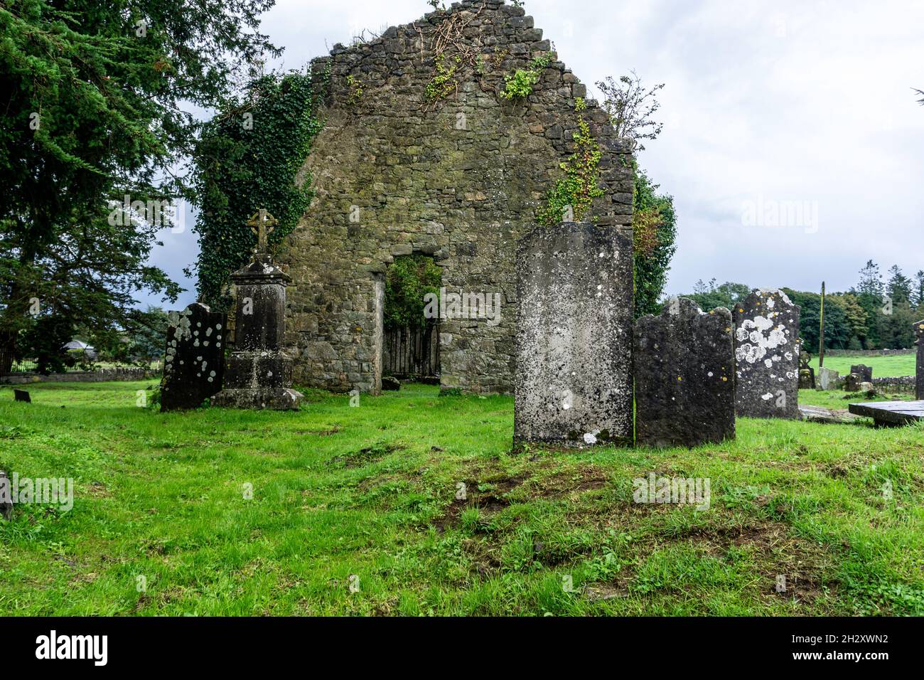 Ecclesiastical enclosure in SrahanboyEcclesiastical enclosure · 1575 yd
 Enclosure in GarranbaunEnclosure · 1.4 mi
 ArderinMountain / peak · 1.8 mi
 FarbreagueMountain / peak · 2.2 mi
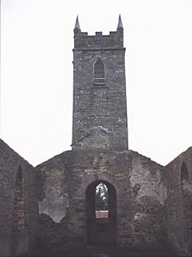 Saint Kevin's Catholic Churchchurch/chapel · 2.3 mi
 Abbey (in Ruins)Church · 3.6 mi
 Saint Kieran's WellSpring · 4.8 mi
 Kinnitty ForestForest · 4.8 mi
 Sitka SpruceSitka Spruce · 5.4 mi
 Saint Dominick's WellSpring · 5.5 mi