What is recorded here
In low-lying, rough pasture 10m NE of a townland boundary with Racebeg. Ring-barrow (LI024-190001-) lies 35m to WNW. Not depicted on OSi historic maps. Identified as a small, circular-shaped cropmark by the Bruff aerial photographic survey (Bruff 39.2: AP 4/3671) in 1986. Monument is not visible on OSi orthoimage taken 2005-2012, or on Digital Globe orthoimage taken 2011-2013, however it is visible as a small subcircular-shaped cropmark on Google Earth orthoimage taken 25/03/2017.
See attached Bruff aerial photo taken in 1986 numbered 39.2 and Google Earth orthoimage taken 25/03/2017.
Compiled by: Alison McQueen and Vera Rahilly
Date of upload: 30 September 2020
A Neolithic ring-barrow; its presence indicates early ceremonial or funerary activity in the Bruff area, though specific wider significance remains unrecorded.
The monument record does not grant public access. Check the route and ask the landowner before entering private land.
- What survives
- Recorded monument
Places near here
 Ballynaclogh Church (in ruins)Church · 595 yd
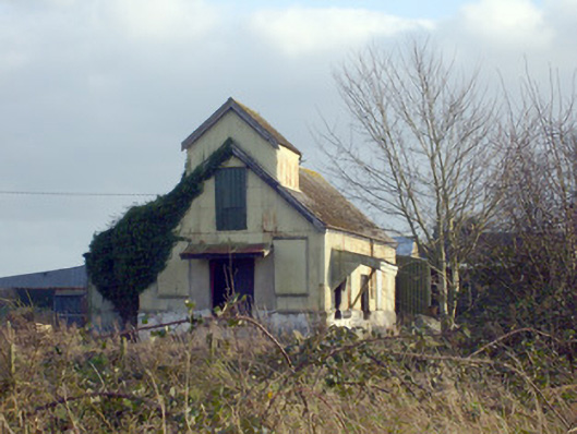 Race Creamerycreamery · 1036 yd
 Enclosure in Pallas (coonagh By.)Enclosure · 1179 yd
 Not shownField system · 1187 yd
 (Site of) CastleCastle, unclassified · 1209 yd
 Pallas MoatCastle, motte · 1268 yd
 ToberagaddySpring · 1.5 mi
 KnockseefinMountain / peak · 1.8 mi
 St. Patrick's WellSpring · 2.9 mi
 Kilteely HillMountain / peak · 3.2 mi
 Flat cemetery in Knockainy WestFlat cemetery · 7.0 mi
 Ballinvreena LoopVisitor information · 11 mi