What is recorded here
Surveyed in 2012 and described by McGuinness (2012, 27) as following: 'Severely eroded sub-circular tumulus (Diam. 14m N-S x 12.8m E-W) in pastureland on or close to flattish summit of hill (140m OD). Site has been greatly damaged by grazing cattle: four large chunks have been removed up to a depth of 0.70m, two on E side and two on W side, showing the monument to be composed of earth with stones of various sizes, some very large. On N and NW sides, mound appears to be in a slight hollow, as if its constituent material was scraped from a broad ditch, 11m in width, curving around it. Mound reaches a greatest height of 1.9m on W side. Although the mound is more likely to have had a domed profile originally, it might possibly have been stepped, with a broad horizontal ledge surrounding a central cap; the damage, however, makes this very difficult to establish. Barrows on N end of hilltop of Leny (WM011-021----, WM011-022----) are clearly visible to SW and Frewin Hill (WM011-133----) is clearly visible on horizon to S. Loughs Derravarragh and Iron are visible to NE and SW respectively. This barrow is not listed in the RMP and was brought to the writer’s attention by Mr Peter Wallace (Wallace 1987, 18)'.
Compiled by: Caimin O'Brien based on details provided by David McGuinness.
Date of upload: 23 February 2015
The monument record does not grant public access. Check the route and ask the landowner before entering private land.
- What survives
- Recorded monument
Places near here
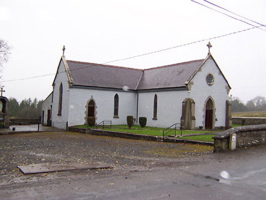 Saint Patrick's Catholic Churchchurch/chapel · 706 yd
 Enclosure in LackanEnclosure · 1022 yd
 Rathganny Houseoutbuilding · 1109 yd
 Carrick CastleCastle · 1441 yd
 Ecclesiastical enclosure in LenyEcclesiastical enclosure · 1616 yd
 CastleCastle, unclassified · 1.2 mi
 Bridge Memorial (Kenna)Memorial · 1.4 mi
 Baronstown ForestWood · 3.8 mi
 Horse-chestnutHorse-chestnut · 3.9 mi
 Carrickphilbin IslandIslet · 4.0 mi
 Srudarra IslandIslet · 4.5 mi
 Rock of CurryCliff · 8.6 mi