What is recorded here
Barrow is a circular grass-covered mound in County Meath, Ireland, measuring roughly seventeen metres across and sloping gently into the ground towards the north-east. The 1836 map called it a fort, but its shape and position suggest an older burial place where people once laid someone they loved beneath the earth. It still stands at the bottom of a quiet slope, waiting for curiosity rather than conquest.
Located towards the bottom of a gentle N-facing slope. It is depicted as a small embanked enclosure (ext. diam. c. 25m) on the 1836 edition of the OS 6-inch map where it is described as a ‘Fort’ and as a hachured feature on the 1912 edition. This is a circular grass-covered and flat-topped mound (diam. of base 17.7m NW-SE; 15m NE-SW) that slopes down to the NE where it melds into the ground surface. It is defined by a low scarp (at SE: Wth 1.8m; H 0.7m) elsewhere. There is no visible fosse but there are some stones on the perimeter at S.
The above description is derived from the published 'Archaeological Inventory of County Meath' (Dublin: Stationery Office, 1987). In certain instances the entries have been revised and updated in the light of recent research.
Compiled by: Michael Moore
Date of revision: 21 August 2019
Mound barrow, likely dating to the Early Bronze Age. Its original function and wider significance remain unclear due to lack of archaeological investigation.
The monument record does not grant public access. Check the route and ask the landowner before entering private land.
- What survives
- Recorded monument
Places near here
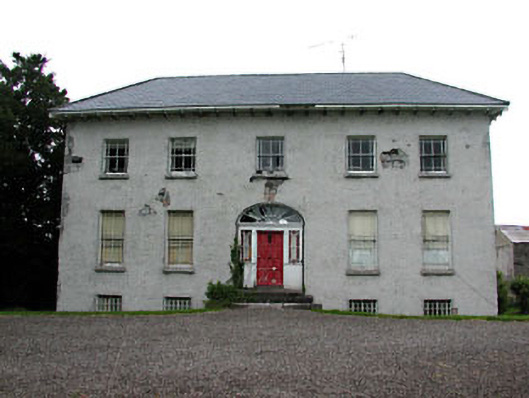 Spring Valley Housecountry house · 668 yd
 Enclosure in Summerhill DemesneEnclosure · 1100 yd
 Enclosure in ClonymeathEnclosure · 1569 yd
 CastleCastle, tower house · 1635 yd
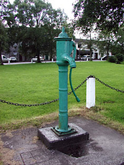 water pumpwater pump · 1.0 mi
 European ashEuropean ash · 1.2 mi
 Galtrim MoatCastle, motte · 2.1 mi
 Saints IslandForest · 2.4 mi
 MullaghMountain / peak · 3.5 mi
 Kilgar GardensHeritage attraction · 3.5 mi
 Larchil Arcadian GardensHeritage attraction · 3.5 mi
 1798 MemorialMemorial · 4.2 mi