What is recorded here
Situated on grassland 210m SE of Rock Brook House. Outlined as a circular earthwork on the 1837 ed. OS 6-inch map with similar earthwork (WM010-016----) 110m to the N. Not depicted as an antiquity on the 1837 ed. OS 6-inch map. Present remains consist of a circular shaped mound (diam. 17m) defined by a scarp with a shallow external fosse. There are traces of cultivation ridges on the mound and in the surrounding field. It is possible that it is a mound-barrow which was landscaped as a tree ring associated with Rock Brook House in the post-1700 period.
Compiled by: Frank Coyne and Caimin O'Brien
Date of upload: 8 June 2017
The monument record does not grant public access. Check the route and ask the landowner before entering private land.
- What survives
- Recorded monument
Places near here
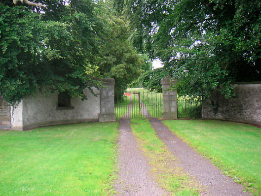 Rock Brookgate lodge · 210 yd
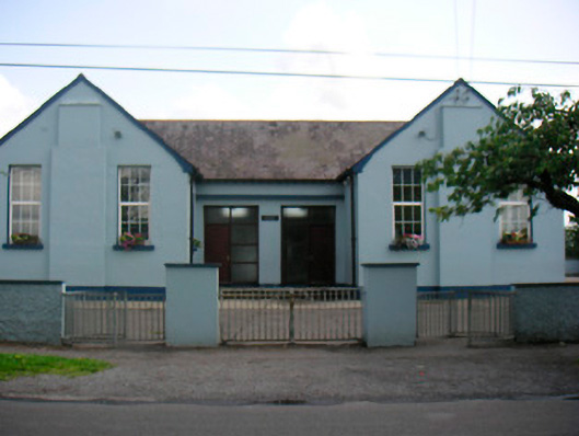 Saint Bridget's National Schoolschool · 263 yd
 Font (present location) in BallynacarrigyFont (present location) · 575 yd
 Site of CastleCastle, unclassified · 629 yd
 Settlement desertedSettlement deserted, medieval · 664 yd
 Site of Castle, Castle FieldCastle, unclassified · 1.1 mi
 Horse-chestnutHorse-chestnut · 1.5 mi
 Baronstown ForestWood · 1.6 mi
 Abbeyshrule AbbeyRuins · 4.9 mi
 National Famine WayWalking route · 10 mi
 Noughaval CemeteryArchaeological place · 11 mi
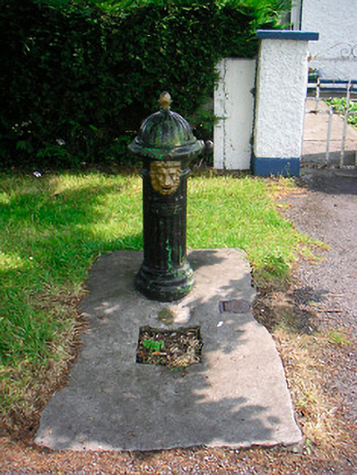 water pumpwater pump · 339 yd