What is recorded here
Surveyed in 2013 and described by McGuinness (2014, 32) as following: 'Circular tumulus (Diam. 8.5m N-S x 8.6m E-W) with well-defined edge, domed to conical in shape and up to 1.45 in height above ground level on NE side. Boulders protrude from upper surface of mound. Although mound was covered in fairly thick grass when visited, narrow circumferential terraces visible on its W side appear to show no pattern and are almost certainly due to erosion or soil-flow. Mound is very prominently sited on an eminence in a deliberately unplanted area of commercial forestry; view would be excellent but for trees. Four other barrows (WM018-069----; WM018-070----; WM018-106----; WM018-151----) lie in this townland, the nearest being c. 500m to WNW'.
Compiled by: Caimin O'Brien based on details provided by David McGuinness.
Date of upload: 23 February 2015
Circular mound barrow, likely dating to the Early Bronze Age; represents a common funerary monument type in the British Isles, though its specific cultural or regional significance remains unexplored due to lack of excavation or detailed context.
The monument record does not grant public access. Check the route and ask the landowner before entering private land.
- What survives
- Recorded monument
Places near here
 Glascarn Househouse · 925 yd
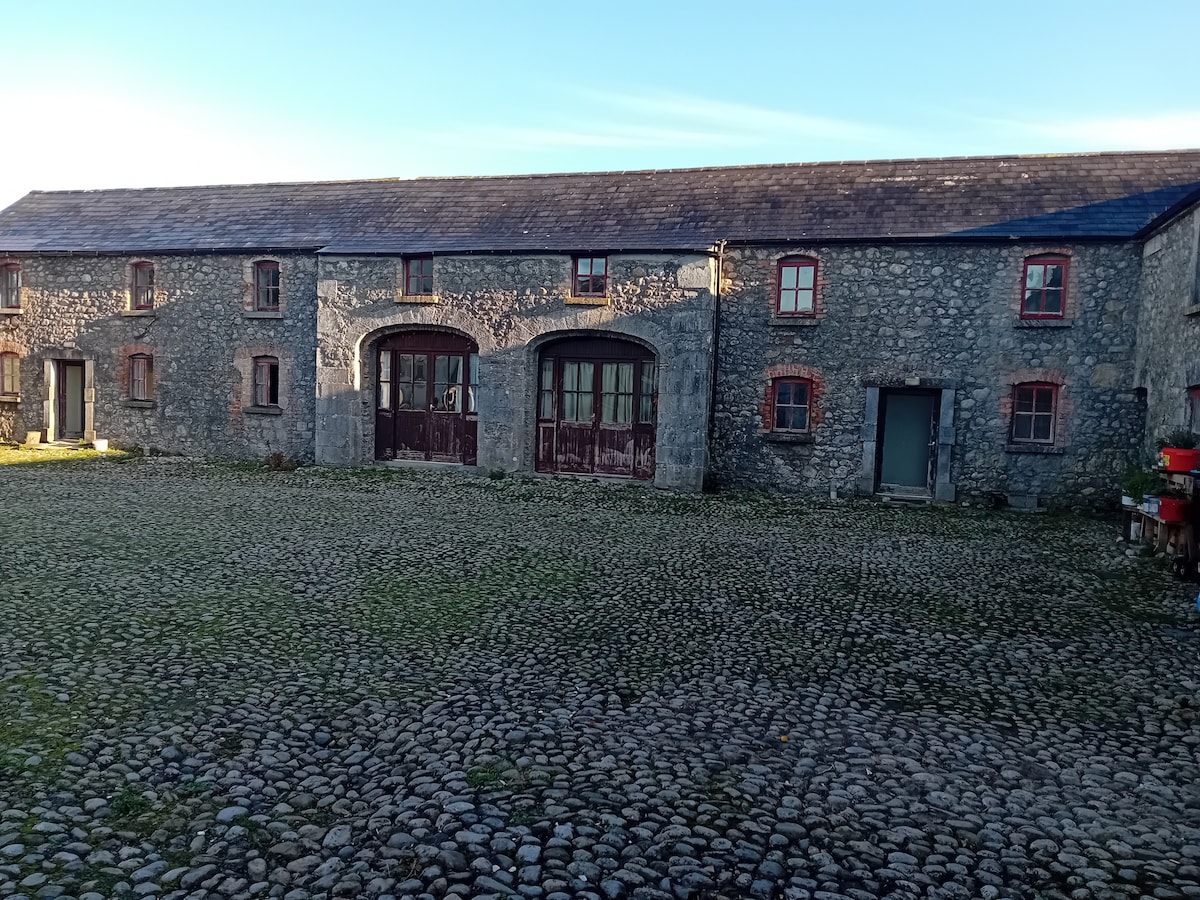 Bawn in BalleagnyBawn · 927 yd
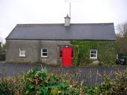 Bushmills Cottagehouse · 1209 yd
 Enclosure in BalleagnyEnclosure · 1256 yd
 WestmeathVisitor information · 1637 yd
 St. Patricks WellHoly well · 1686 yd
 Fieldtown CastleCastle · 1731 yd
 Ancient Ring FortWood · 1.8 mi
 Hill of UisneachMountain / peak · 4.1 mi
 Carrickphilbin IslandIslet · 4.2 mi
 Srudarra IslandIslet · 4.6 mi
 Baronstown ForestWood · 5.0 mi