What is recorded here
In reclaimed pasture 100m SW of the Morningstar River that marks the townland boundary with Milltown. Possible barrows (LI040-253/254----) lies 15m to SW and 25m to SE respectively. Not depicted on OSi historic maps. Visible as a circular-shaped area enclosed by a ditch on oblique aerial photograph (ASIAP (348) 22). Faint traces of a cropmark visible on Google Earth orthoimage dated 04/04/2013.
See attached oblique aerial image (ASIAP (348) 22) and Google Earth orthoimages.
Compiled by: Martin Fitzpatrick
Date of upload: 29 June 2021
A ditch barrow, likely dating to the Early Bronze Age; its location suggests a possible funerary or ritual function within a broader landscape of related barrows.
The monument record does not grant public access. Check the route and ask the landowner before entering private land.
- What survives
- Recorded monument
Places near here
 RoadRoad, road/trackway · 294 yd
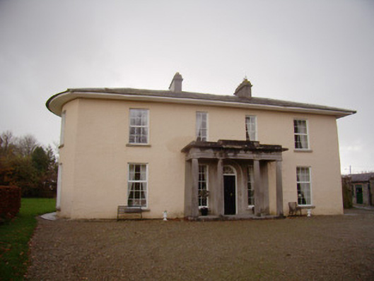 Milltown Parkcountry house · 569 yd
 Enclosure in Milltown (coshma By.)Enclosure · 683 yd
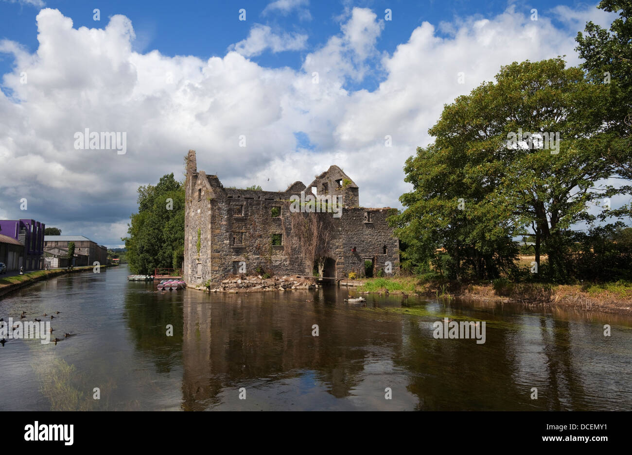
 Ballygrennan Castle (in ruins)Castle, tower house · 956 yd
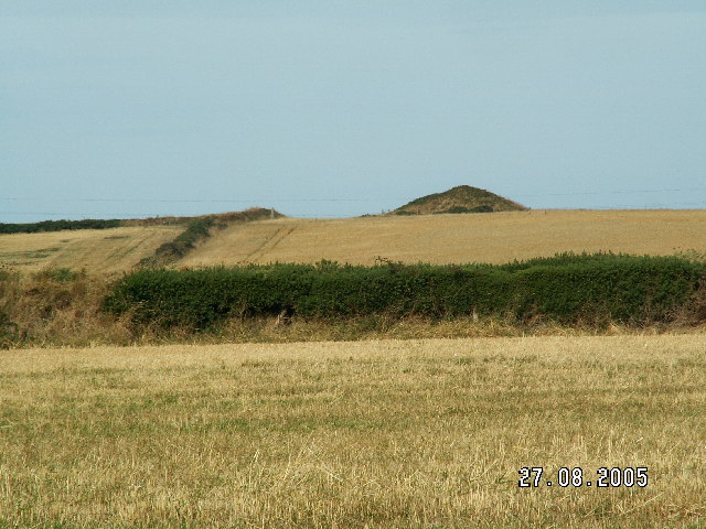 Burial mound in BaggotstownBurial mound · 1516 yd
 Castle (in ruins)Castle, unclassified · 1.1 mi
 Glen BogForest · 1.8 mi
 KnockainyMountain / peak · 2.2 mi
 Flat cemetery in Knockainy WestFlat cemetery · 3.0 mi
 St Patrick's WellSpring · 5.8 mi
 Edmund's WellSpring · 6.3 mi
 Ballinvreena LoopVisitor information · 6.6 mi
Other information
Photo: Credit not shown in the picture search · Rights wording not checked; contact us if this picture should be removed