What is recorded here
On level ground. Visible on an aerial photograph (DoD, 1999). A very slightly raised, sub-circular area (diams. 7m NE-SW; 5.8m NW-SE) is defined by a shallow, V-shaped fosse (Wth 0.5m; D 0.2m; ext. diam. 11.m). This is one of a group of six similar, closely associated monuments (KD022-072---- to KD022-077----) in this part of the Little Curragh.
Compiled by: Gearóid Conroy
Date of upload: 10 June 2011
A ditch barrow, likely dating to the Early Bronze Age. Its significance lies in its preservation and visibility in aerial photographs, offering insights into early burial practices in the Curragh region.
The monument record does not grant public access. Check the route and ask the landowner before entering private land.
- What survives
- Recorded monument
Places near here
 The CurraghEarthwork · 377 yd
 Pedestal of a Cross(Called the Wart Stone)Cross, Wayside cross · 441 yd
 Religious houseReligious house, unclassified · 1.0 mi
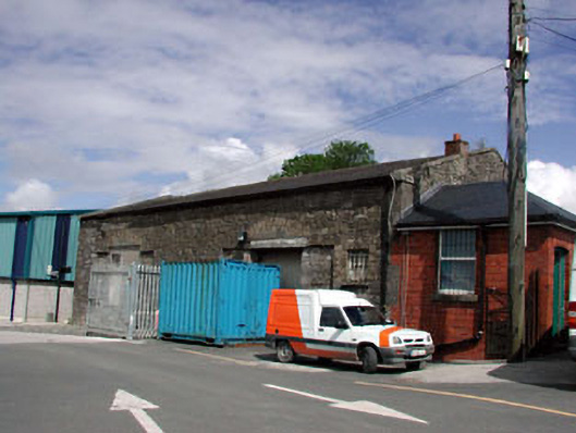 Kildare Railway Stationstore/warehouse · 1.4 mi
 Castle in ruinsCastle, Anglo-Norman masonry castle · 1.7 mi
 CastleCastle, motte · 1.7 mi
 Pollardstown Fen Nature ReserveNature reserve · 1.8 mi
 Saint Fiachra's GardenHeritage attraction · 2.2 mi
 Bee-bee treeBee-bee tree · 2.3 mi
 Horse MuseumMuseum · 2.4 mi
 Bithia Mary CrokerMemorial · 5.4 mi
 Grand Canal WayVisitor information · 7.0 mi