What is recorded here
In flat grassland. Motte and bailey (TS053-042002-) 200m to SW, fortified church (TS053-042001-) 130m to W and graveyard (TS053-042004-) 25m to W. Visible earthworks (TS053-042003-) extended eastward from the graveyard wall. In 1999, during the redevelopment of the stud farm, these earthworks, which possibly represents the remains of a deserted medieval village, were partially buried in topsoil to make the land safe for livestock (Purcell and Gowen 2000, 283). A digital terrain model of the earthworks, prior to this, revealed several features including three circular mounds (diam. 5-6m) which appear as 'shallow ring ditches' and may be barrows or 'residual features from circular feeding troughs' (O'Donovan and Duffy 2002, 39-40). Earthworks to the N and E of the church and graveyard show up on aerial photographs (CUCAP 1967, ATA 64; CUCAP 1971, BGO 11).
Compiled by: Jean Farrelly
Date of upload: 26 August 2011
Ditch barrow, likely dating to the Early Christian or medieval period. Its proximity to a fortified church and graveyard suggests a possible ceremonial or funerary function within a broader settlement landscape.
The monument record does not grant public access. Check the route and ask the landowner before entering private land.
- What survives
- Recorded monument
Places near here
 Church (In Ruins)Church · 242 yd
 IndicatedFairy fort / earthen ringfort · 608 yd
 Synone CastleCastle · 887 yd
 Ballykelly Church (in Ruins)Church · 1314 yd
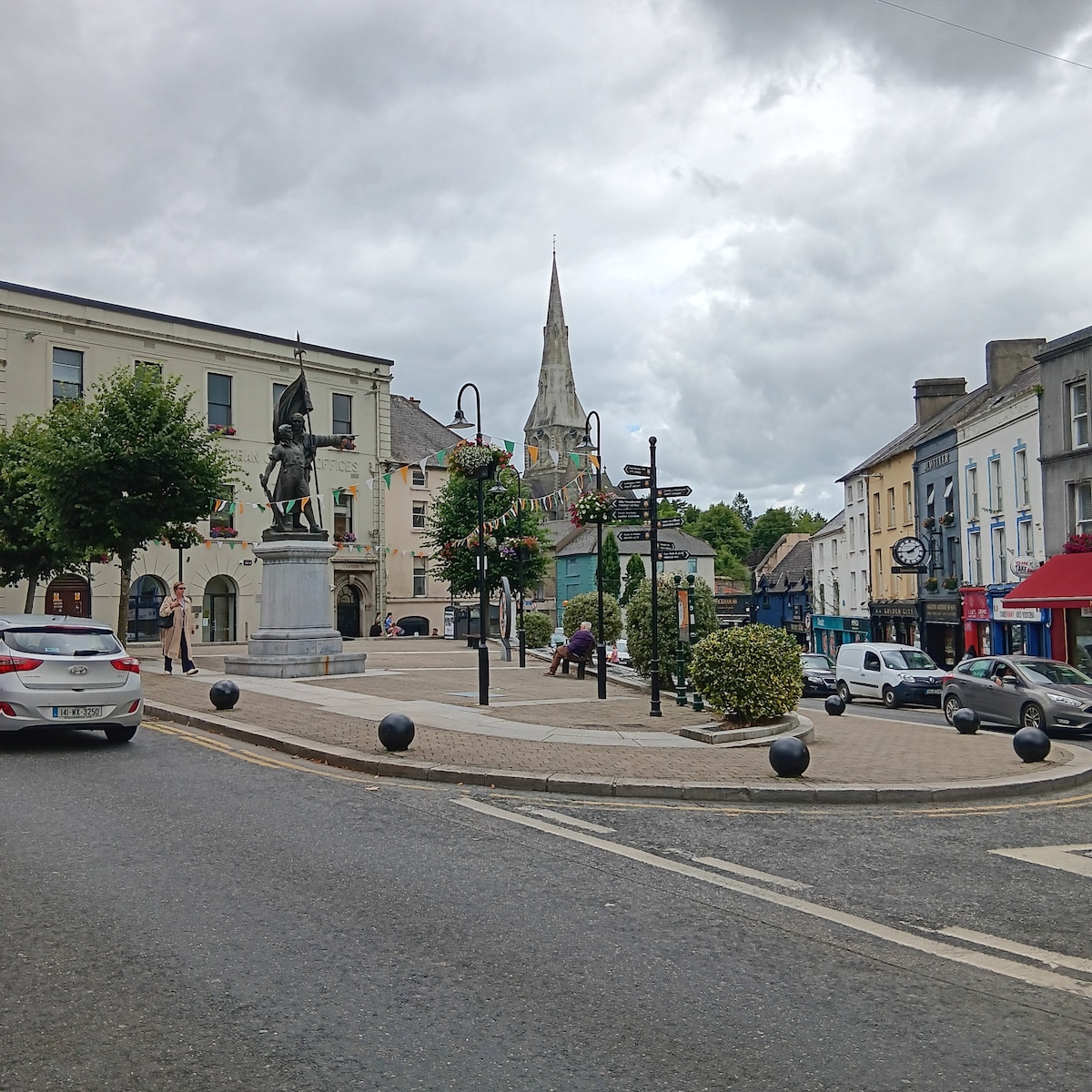 Enclosure in MarshalstownEnclosure · 1554 yd
 Gortmakellis CastleCastle · 1.3 mi
 Ballyknock HillMountain / peak · 2.0 mi
 Rock of CashelHeritage attraction · 3.1 mi
 Cormac's ChapelHeritage attraction · 3.1 mi
 The Rock Of CashelVisitor information · 3.2 mi
 Black mulberryBlack mulberry · 3.3 mi
 Clonoulty HillMountain / peak · 5.4 mi