What is recorded here
Indicated is a fairy fort or earthen ringfort in Barrinagh (castlereagh By.), County Roscommon, Ireland. It appears faintly as an oval enclosure on the 1837 Ordnance Survey map and occupies a gentle north-facing slope in reclaimed pasture. A shallow oval depression remains at ground level, while Rath sits two hundred metres to the east-southeast.
Marked faintly as an oval enclosure (dims c. 50m E-W; c. 40m N-S) on the 1837 ed. of the OS 6-inch map, and situated on a gentle N-facing slope in reclaimed pasture. No feature is visible at ground level except a shallow oval depression (dims 18m E-W; 12m N-S; D 0.6-0.8m). Rath (RO032-007----) is c 200m to the ESE.
Compiled by: Michael Moore
Date of upload: 24 August 2010
The monument record does not grant public access. Check the route and ask the landowner before entering private land.
- What survives
- Recorded monument
Places near here
 Embanked enclosureFairy fort / earthen ringfort · 370 yd
 RoadRoad, road/trackway · 420 yd
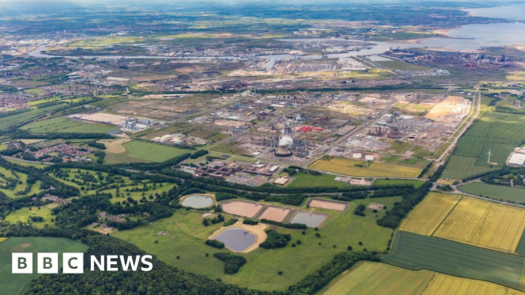 Field system in Barrinagh (castlereagh By.)Field system · 503 yd
 ChapelChurch · 1327 yd
 CastleCastle, unclassified · 1715 yd
 Slieve DartMountain / peak · 3.1 mi
 Castle in ruinsCastle, unclassified · 5.5 mi
 Site of Killomaine Grave YardArchaeological place · 11 mi
 European ashEuropean ash · 15 mi
 Mass RockNamed rock · 16 mi
 IndicatedFairy fort / earthen ringfort · 860 yd
 Kiltullagh ChurchChurch · 1433 yd