What is recorded here
Low-lying area on margin of wet ground to W and S, overgrown with larches. It is adjacent on the W side to the townland boundary and lies c. 550m SE of Danganbeg Castle (KK031-007----). Referred to by O'Kelly (1969, 169) as a 'moat' in the 'moat field' and locally known as 'the rath'. A rectangular, almost square area (max. dims. 23m E-W; 18.5m N-S) enclosed by an earthen bank (Wth 2.5m; H 0.5-1.5m) and a wide deep waterlogged flat-bottomed fosse (Wth at top 5m; Wth at base 2.6m; D 0.9m), except on the S side where the fosse has been infilled.
Compiled by: Jean Farrelly
Date of upload: 19 April 2023
The monument record does not grant public access. Check the route and ask the landowner before entering private land.
- What survives
- Recorded monument
Places near here
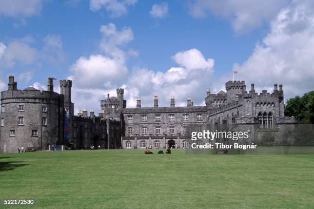 Danganbeg Castle (Site of)Castle, unclassified · 634 yd
 BaysrathArchaeological place · 716 yd
 Vicarsfield Rectoryrectory/glebe/vicarage/curate's house · 1066 yd
 farm housefarm house · 1091 yd
 IndicatedEnclosure · 1284 yd
 Sheepstown Castle (site of)Archaeological place · 1697 yd
 Turkey OakTurkey Oak · 1.1 mi
 Church (in Ruins), GraveyardChurch · 2.0 mi
 Pat WalshMemorial · 2.5 mi
 Castlemorris Pheasant LoopWalking route · 3.0 mi
 Castlemorris WoodForest · 3.0 mi
 Kells Augustinian PrioryHeritage attraction · 3.1 mi