What is recorded here
Two tall stones still stand between Millstreet and Ballinagree, waiting for the name of the hand that lifted them. They are not a temple or a boundary in any book, but the completed act of two people carrying weight across soft Cork ground. That much is certain. The rest belongs to imagination, and imagination is not empty there; it is the shape of the missing person.
A standing stone (H 1.08m; 0.8m x 0.4m; long axis ENE-WSW) in the SE quadrant of a large enclosure (CO102-030001-). A prostrate stone (L 1.6m; 0.5m x 0.2m) lies 1.2m to ENE.
The above description is derived from the published 'Archaeological Inventory of County Cork. Volume 1: West Cork' (Dublin: Stationery Office, 1992). In certain instances the entries have been revised and updated in the light of recent research.
Date of upload/revision: 14 January 2009
The monument record does not grant public access. Check the route and ask the landowner before entering private land.
- What survives
- Recorded monument
Places near here
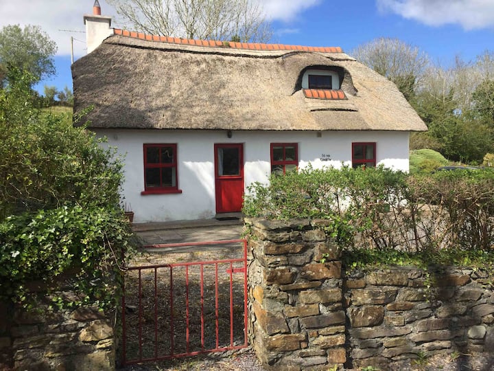 Hut site in BarreesHut site · 28 yd
 Field boundary in Barrees,bawnardField boundary · 192 yd
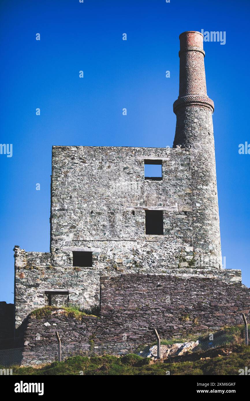 MineMine, copper · 1014 yd
 coastguard stationcoastguard station · 1.4 mi
 SkelligMountain / peak · 1.6 mi
 Beara WayWalking route · 1.7 mi
 Eagle HillMountain / peak · 2.1 mi
 Eyeries - Coastguard Station LoopWalking route · 2.2 mi
 Wild Atlantic WayVisitor information · 2.2 mi
 CarrigleamoreIslet · 2.3 mi
 Eyeries IslandIslet · 2.6 mi
 Pallas StrandBeach / strand · 2.8 mi