What is recorded here
Indicated is a circular stone enclosure in County Cork, Ireland, where two upright slabs still mark a narrow entrance to the southeast. Radiocarbon dating shows peat grew across the interior by about AD 1200, suggesting people stopped using the place at that time. The stones remain close together, holding the shape of a small world that no longer needs explanation.
A circular enclosure (14.9m E-W; 14.4m N-S) defined by a double line of upright contiguous stones (max. H 1.2m) E-SW and W-N; core (int. H 0.7m) now grass-covered, contains some stones. Entrance (Wth 1.2m) to SSE defined by two upright slabs. Depicted on OS 6-inch map (1901).
Radiocarbon dating of peat growth (GrN-28301; 800±30 BP) in the interior shows the enclosure to have been abandoned by c. AD 1200 (O'Brien 2004b, 61; 2006, 39).
The above description is derived from the published 'Archaeological Inventory of County Cork. Volume 1: West Cork' (Dublin: Stationery Office, 1992). In certain instances the entries have been revised and updated in the light of recent research.
Date of upload/revision: 14 January 2009
The monument record does not grant public access. Check the route and ask the landowner before entering private land.
- What survives
- Recorded monument
Places near here
 Field boundary in Barrees,bawnardField boundary · 139 yd
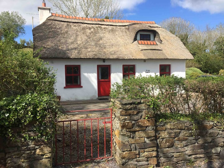 Hut site in BarreesHut site · 166 yd
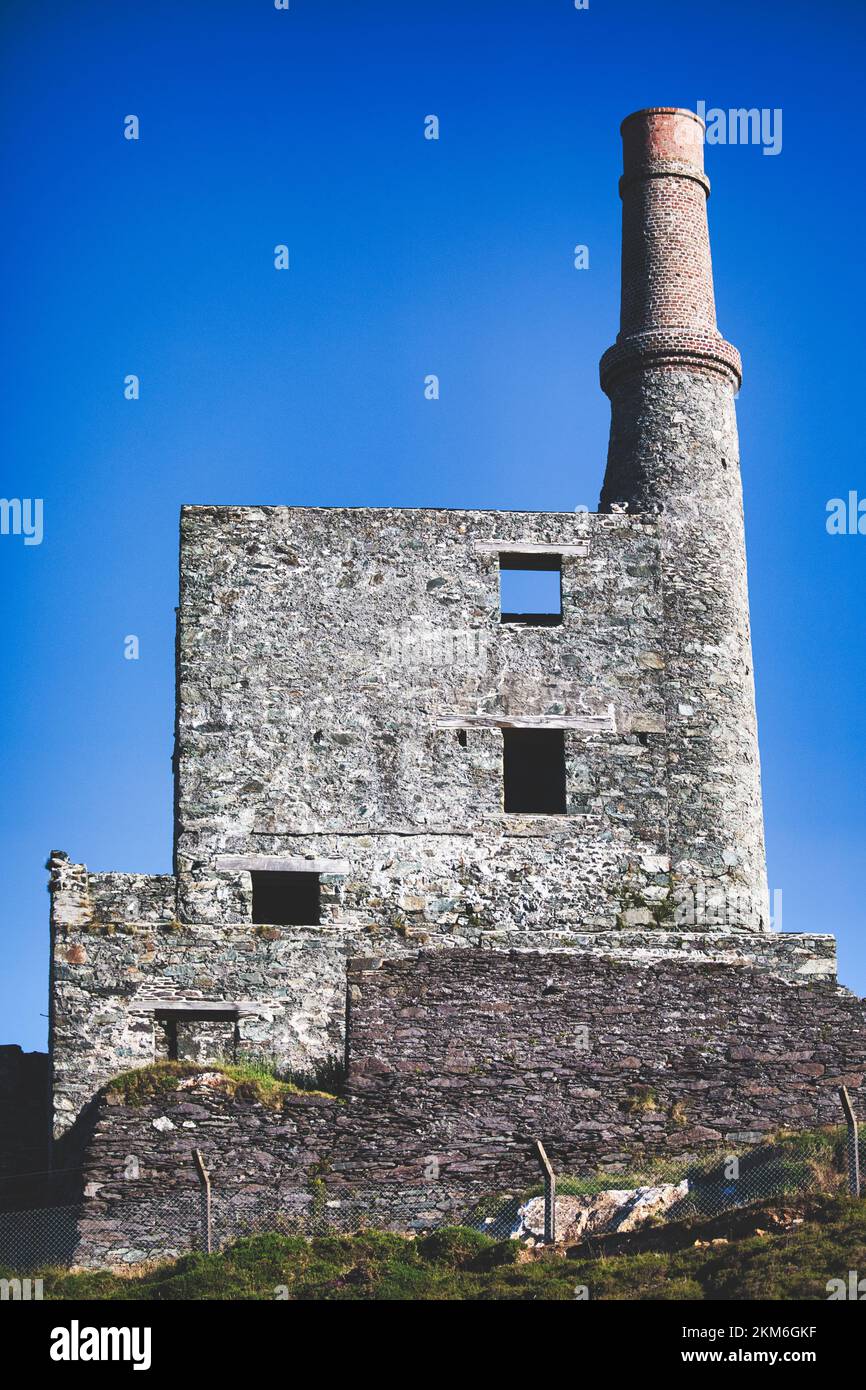 MineMine, copper · 872 yd
 Wild Atlantic WayVisitor information · 1.1 mi
 coastguard stationcoastguard station · 1.4 mi
 SkelligMountain / peak · 1.7 mi
 Beara WayWalking route · 1.7 mi
 Eyeries - Coastguard Station LoopWalking route · 2.1 mi
 Eagle HillMountain / peak · 2.1 mi
 CarrigleamoreIslet · 2.2 mi
 Eyeries IslandIslet · 2.5 mi
 Pallas StrandBeach / strand · 2.7 mi