What is recorded here
In rough pasture, to the N of a bend in a river on a N-facing slope. An oval grass-covered mound (3.6m NW-SE; 2.2m NE-SW; H 0.45m) of heat-shattered stones and charcoal-enriched soil. Some mound material is exposed on its E side. A fulacht fia (CO102-031011-) lies 11m to the SE.
The above description is derived from 'The Archaeological Inventory of County Cork. Volume 5' (Dublin: Stationery Office, 2009).
Date of upload: 22 December 2009
Burnt mound in Barrees is a Neolithic ritual or industrial site, dating to approximately 4000–2500 BCE. Its significance lies in providing evidence of early human activity, possibly related to cooking, feasting, or ceremonial practices.
The monument record does not grant public access. Check the route and ask the landowner before entering private land.
- What survives
- Recorded monument
Places near here
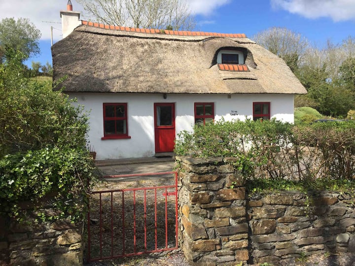 Hut site in BarreesHut site · 489 yd
 Field boundary in Barrees,bawnardField boundary · 546 yd
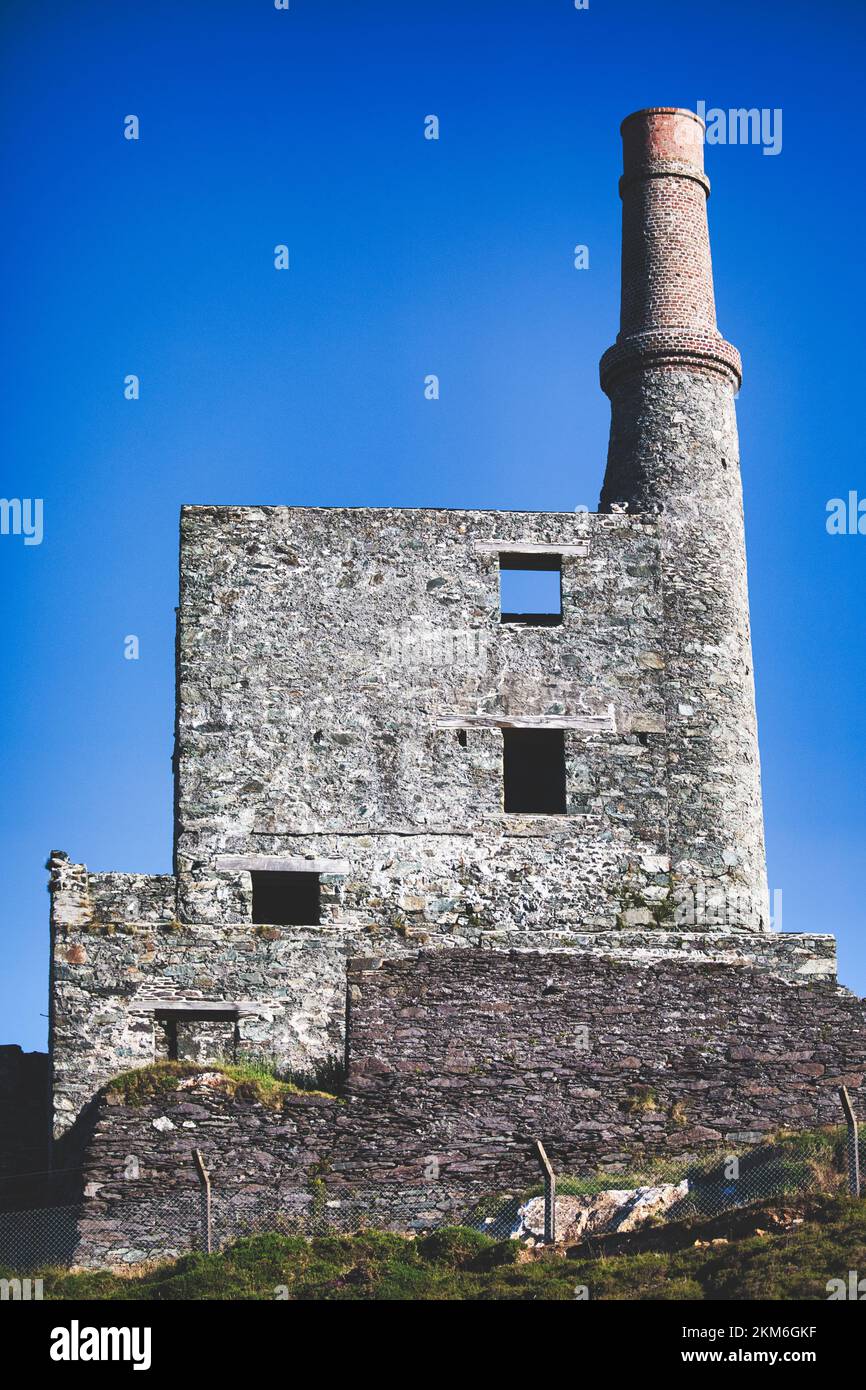 MineMine, copper · 664 yd
 Wild Atlantic WayVisitor information · 1533 yd
 coastguard stationcoastguard station · 1.2 mi
 SkelligMountain / peak · 1.8 mi
 Beara WayWalking route · 1.9 mi
 Eyeries - Coastguard Station LoopWalking route · 1.9 mi
 GortbrackMountain / peak · 1.9 mi
 CarrigleamoreIslet · 2.1 mi
 Eyeries IslandIslet · 2.3 mi
 Pallas StrandBeach / strand · 2.6 mi