What is recorded here
Bridget's Hospital in Baronstown Demesne wears a leper label but its ruins may be a thirteenth-century castle hall. The 1656 Down Survey still showed a small tower south of Kilbixy church, while the 1911 map called the same site a leper house. That change of name suggests people kept finding the place useful, even when its first purpose faded from memory.
Same site as WM011-040001-, depicted as a 'Leper House or Bridget's Hospital (in Ruins) on 1911 ed. OS 25-inch map. This building located S of St. Bigeasch Church was classified as a hospital and as a castle. The 1656 Down Survey map of Kilbixy parish depicts a small tower standing to the S of Kilbixy fortified church (WM011-040002-) which appears to be the remains of Bridget's Hospital which appears to be the remains of a hall house or 13th century castle rather than a hospital (NLI, MS 723-4).
Compiled by: Caimin O'Brien & Frank Coyne
Date of upload: 18 August 2017
A leper house or hospital associated with St. Brigid, built in the 17th century, likely serving as a place of care for lepers or the poor; it is remembered for its dual classification as both a hospital and a castle, reflecting the site's historical and architectural significance.
The monument record does not grant public access. Check the route and ask the landowner before entering private land.
- What survives
- Recorded monument
Places near here
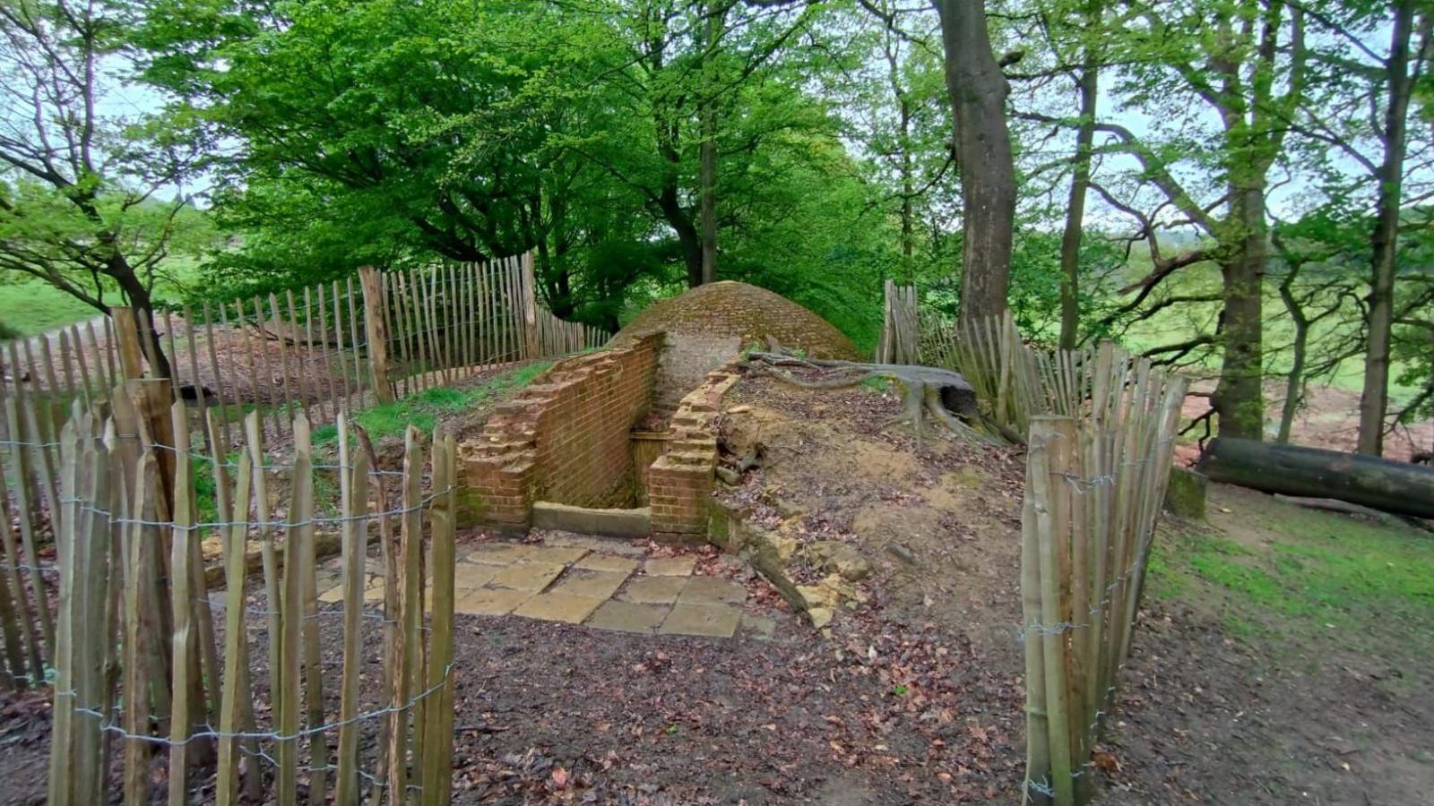 Icehouse in Baronstown DemesneIcehouse · 399 yd
 CastleCastle, motte and bailey · 1149 yd
 Man-made underground passage in Baronstown DemesneMan-made underground passage · 1180 yd
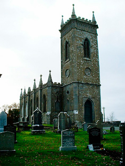 Saint Bigseach's Church (Kilbixy)church/chapel · 1225 yd
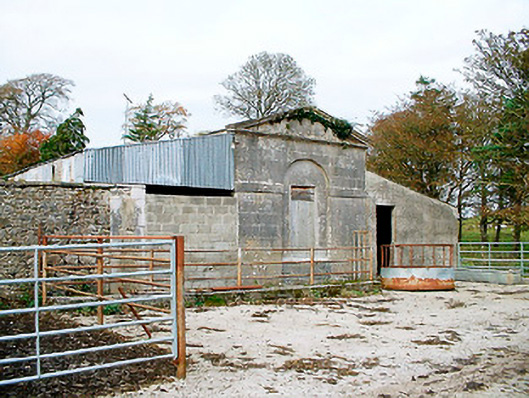 Baronstown HouseOfficially recorded historic building · 1238 yd
 Horse-chestnutHorse-chestnut · 1258 yd
 Baronstown ForestWood · 1299 yd
 Site of Castle, Castle FieldCastle, unclassified · 1.2 mi
 Newcastle WoodsForest · 9.4 mi
 Rock of CurryCliff · 11 mi
 Font in Baronstown DemesneFont · 1214 yd
 Settlement desertedSettlement deserted, medieval · 1400 yd