What is recorded here
In pasture, on a gentle E-facing slope. Circular area (dims. 26m N-S; 27m E-W) defined by flat-topped (Wth 1.2m) earthen bank (overall Wth 9m; int. H 1.0m; ext. H 2.1m). Bank breached (Wth 4.5m) at N and at SE (Wth 3m). Intervening fosse (basal Wth 2m; overall Wth 7.2m; D 0.9m) E-W is waterlogged in places E-SE and is uneven along N arc due to infilling.. Remains of outer bank (Wth 3.75m; int. H 1.4m; ext. H 0.5m) E-S-W are intermittent in places and poorly preserved. Outer bank pushed into intervening fosse W-N-E (except at NNW) and at SW where it resembles a causeway. Interior slopes down gently from bank all around and is quite deep and sheltered due to increased interior bank height. Covered in long grass and nettles with briars towards eastern half. Enclosure (TS070-113----) located 160m to NW.
Compiled by: Jean Farrelly
Date of upload: 26 August 2011
The monument record does not grant public access. Check the route and ask the landowner before entering private land.
- What survives
- Recorded monument
Places near here
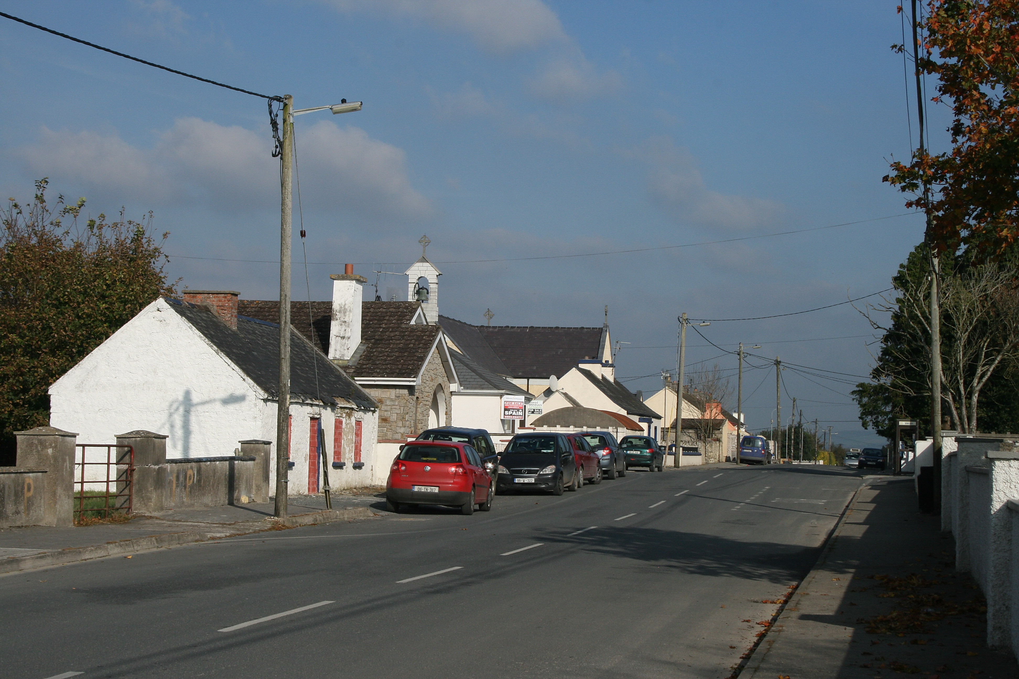 RaheenroeEnclosure · 362 yd
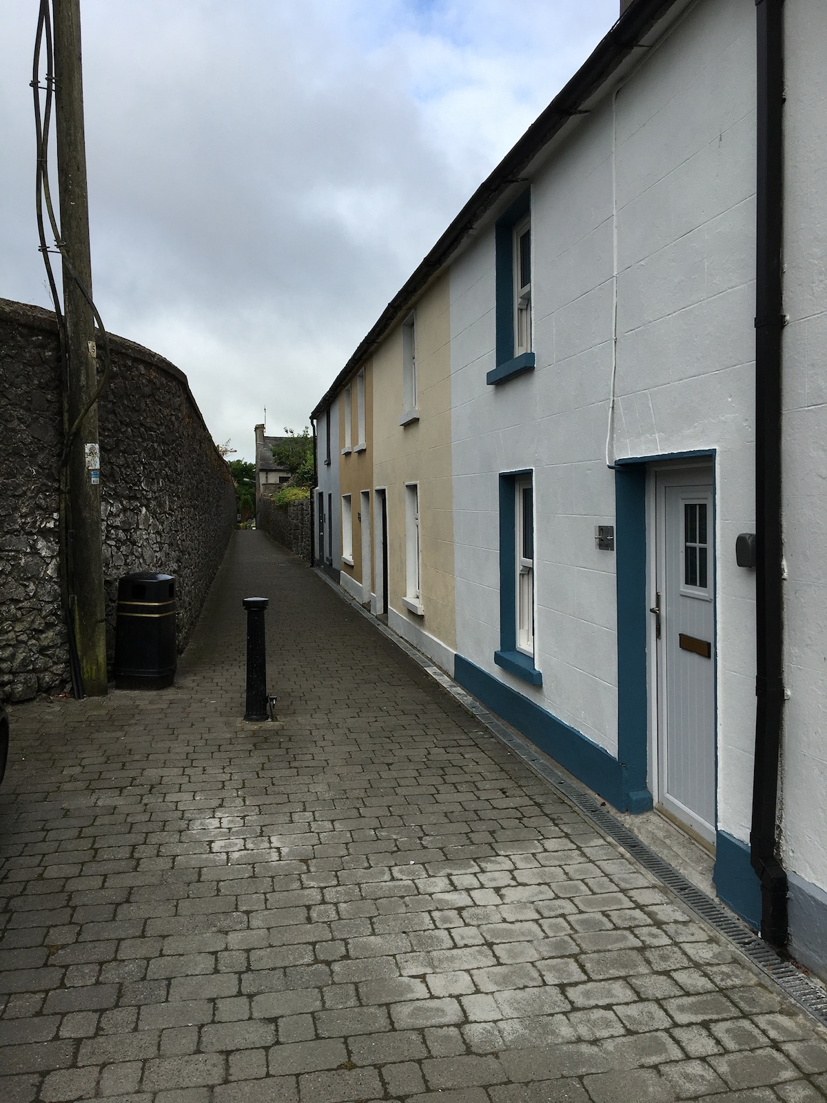 Enclosure in MilestownEnclosure · 1030 yd
 Ballinard CastleCastle, tower house · 1244 yd
 Clare Castle (in ruins)Castle, hall-house · 1569 yd
 Clare Br.Bridge · 1617 yd
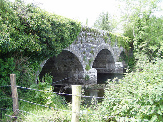 Melbourne Bridgebridge · 1622 yd
 Pedunculate OakPedunculate Oak · 2.1 mi
 CarrigdotiaMountain / peak · 2.4 mi
 Kilknockan HillMountain / peak · 2.6 mi
 East GateMemorial · 2.6 mi
 Grove WoodForest · 2.7 mi
 Gobban Saer's GraveArchaeological place · 9.9 mi