What is recorded here
In improved pasture, on top of low rise with good views NE-S-SW. Identified during a survey by Eoin Grogan. Sub-circular area (dims. 26m NW-SE; 27m NE-SW) defined by remains of a bank (Wth 2.55m; int. H 0.2; ext. H 0.55m) SW-W and levelled scarp (Wth 1.4m; H 0.45m) NNE-S-W and at NW which is truncated by a field boundary (long-axis NE-SW) across NW-arc. Fosse (basal Wth 1.1m; overall Wth 3.2m; D 0.25m) NNE-S-NW is best defined SSE-S-SW. Interior tilts downslope to SE with prevalent slope and is disturbed by farming practices: Deep poaching around former area of a round feeder located off-centre to SE and other more subtle undulations. Shallow, linear depression (long-axis NW-SE) cuts across NE-sector and may be a drain.
Compiled by: Jean Farrelly
Date of revised upload: 9 September 2014
The monument record does not grant public access. Check the route and ask the landowner before entering private land.
- What survives
- Recorded monument
Places near here
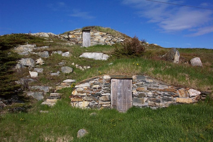 Enclosure in Kilross (clonbeg Par.)Enclosure · 323 yd
 BarrowBarrow, unclassified · 606 yd
 Aughaclareen Bridgebridge · 706 yd
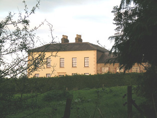 Ballywire Househouse · 799 yd
 Carn (site of)Cairn, burial cairn · 1.4 mi
 Darby's Bed Walk LoopWalking route · 2.1 mi
 Duntryleague HillMountain / peak · 2.1 mi
 CastleCastle, ringwork · 2.4 mi
 Ryves CastleCastle, unclassified · 2.7 mi
 SlievenamuckMountain / peak · 3.4 mi
 Saint Patrick's WellSpring · 3.5 mi
 St Patrick's WellSpring · 4.0 mi