What is recorded here
At the foot of a N-facing slope of a gentle hillock, with a standing stone (TS066-198----) visible 86m to the SSE on the summit. A stream runs roughly NE-SW c. 70m to the NW. There is a ring-barrow (TS066-172----) and a stepped barrow (TS066-122---) 184m and 260m to the S respectively. Identified by Doody (Bruff 58, aerial photograph 2133). A very subtle monument consisting of a low, roughly circular raised area (diam. N-S 5m; E-W 5.2m; H 0.03-0.15m) enclosed by a fosse (Wth 1.2-1.4m; D below ext. ground level 0.05-0.14m). There is no visible trace of an outer bank, the external ground level rises naturally to the E and S.
Compiled by: Jean Farrelly
Date of upload: 13 March 2013
A ditch barrow, likely dating to the Early Bronze Age; its location and association with a standing stone and ring-barrow suggest a ritual or funerary landscape of regional significance.
This remains an important historical record, but the official description says the monument is no longer visible or has been destroyed. The monument record does not grant public access. Check the route and ask the landowner before entering private land.
- What survives
- No visible remains or recorded as destroyed
Places near here
 BarrowBarrow, unclassified · 213 yd
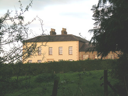 Ballywire Househouse · 629 yd
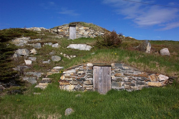 Enclosure in Kilross (clonbeg Par.)Enclosure · 727 yd
 Aughaclareen Bridgebridge · 949 yd
 Carn (site of)Cairn, burial cairn · 1.2 mi
 Darby's Bed Walk LoopWalking route · 1.9 mi
 Duntryleague HillMountain / peak · 1.9 mi
 Ryves CastleCastle, unclassified · 2.5 mi
 Glebe Ho.Castle, unclassified · 2.8 mi
 Saint Patrick's WellSpring · 3.3 mi
 St Patrick's WellSpring · 3.9 mi
 Knockanebrack HillMountain / peak · 4.1 mi