What is recorded here
In pasture. A circular enclosure defined by a fosse, visible on satellite imagery (© Google Earth, imagery date 18 November 2020), identified and reported by Jean-Charles Caillère. The size of the enclosure and the high concentration of barrows in the surrounding area would suggest that this is a barrow. Only the E portion of the enclosure is visible (dims. c. 5m) projecting eastward from another ditch barrow (TS065-079----) which is either conjoined with it or overlies it. A ringfort (TS065-070----) is located c. 130m to the E.
See attached:
TS065-079----_01 Google Earth image (imagery date 18 November 2020)
Compiled by: Jean Farrelly
Date of upload: 10 January 2022
Ditch barrow, likely dating to the Early Bronze Age. Its enclosure and fosse suggest a ceremonial or funerary function, typical of burial monuments from this period in Ireland.
The monument record does not grant public access. Check the route and ask the landowner before entering private land.
- What survives
- Recorded monument
Places near here
 BarrowBarrow, ditch barrow · 374 yd
 Site of Killeen ChurchChurch · 909 yd
 CastleCastle, motte · 1.1 mi
 CashlanCastle, unclassified · 1.2 mi
 Ahnageeragh Bridgebridge · 1.4 mi
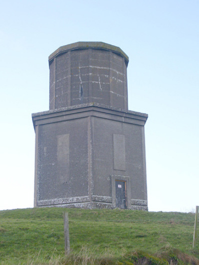 water towerwater tower · 1.7 mi
 Kilteely HillMountain / peak · 2.5 mi
 Flat cemetery in Knockainy WestFlat cemetery · 2.8 mi
 St. Patrick's WellSpring · 2.9 mi
 St Patrick's WellSpring · 3.8 mi
 Ballinvreena LoopVisitor information · 6.7 mi
 SlievereaghMountain / peak · 7.3 mi