
What is recorded here
Dotted outline is a ruined stone ringfort in County Limerick, Ireland. Its broken circle still marks a place where people lived, worked and perhaps fled. The stones have lost much of their shape, but they keep the memory of human hands and local life.
In pasture on slight NE-facing slope, immediately NE of cashel (LI012-055----). Present remains consist of a circular-shaped area (diam. 22m) enclosed by a stone bank (int. H 0.45m; ext. H 0.85m; base Wth 12.30m) with causewayed (L 6m; Wth. 0.95m) stone lined entrance (Wth 5m) at SW. The interior is undulating and strewn with rocks. Not depicted on the 1840 OS 6-inch map the monument is depicted on the 1897 OS 25-inch map as a rectangular-shaped tree plantation. Outline of tree-covered monument visible today on Google Earth orthoimage taken 2019.
See attached Google earth orthoimage taken 19/11/2019
Compiled by: Martin Fitzpatrick
Date upload: 25 June 2020
The monument record does not grant public access. Check the route and ask the landowner before entering private land.
- What survives
- Recorded monument
Places near here
 Knockanadausa FortArchaeological place · 51 yd
 Enclosure in Island-DuaneEnclosure · 1142 yd
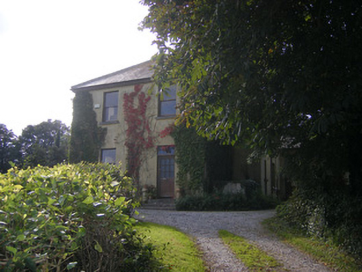 Beech Hillhouse, surgery/clinic · 1326 yd
 Duane Villepresbytery/parochial/curate's house · 1.0 mi
 Castle FieldCastle, unclassified · 1.7 mi
 Meelick Ho.House, fortified house · 2.4 mi
 Sailors HaggardMemorial · 3.7 mi
 Grass IslandIslet · 6.0 mi
 Maiden RockNamed rock · 6.3 mi
 Mellon PointHeadland · 6.9 mi
 Bunratty Castlehouse · 7.4 mi
 Sweet ChestnutSweet Chestnut · 7.7 mi
Other information
Photo: Credit not shown in the picture search · Rights wording not checked; contact us if this picture should be removed