What is recorded here
Situated on gently undulating grassland with good views to the W. Ringfort (WM011-016----) 390m to SE. Lough Iron visible 1.2km to W. Depicted on the 1837 OS Fair Plan map as a rectilinear shaped enclosure and annotated as a ‘fort’. The SW quadrant of the monument appears to have been cut away by a field fence running NW-SE which marks the townland boundary with Farrow. Present remains consist of a sub-triangular shaped area (arc. L 10m N-S; original diam. c. 24m N-S) enclosed by a very low earthen bank (Wth 3.3m; H 0.15m) and external fosse (Wth 2.6m; D 0.3m) with possible causewayed entrance (Wth. 4.2m; H 0.2m) at NNW.
Compiled by: Frank Coyne and Caimin O'Brien
Date of upload: 13 June 2017
The monument record does not grant public access. Check the route and ask the landowner before entering private land.
- What survives
- Recorded monument
Places near here
 Crannog in Cullenhugh,lough IronCrannog · 1003 yd
 Carrick CastleCastle · 1362 yd
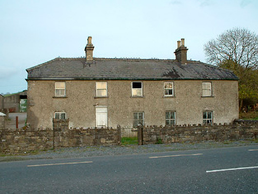 Leny Cottagehouse · 1366 yd
 CastleCastle, unclassified · 1386 yd
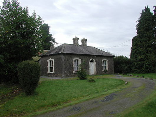 Farra Cottagehouse · 1535 yd
 Ecclesiastical enclosure in LenyEcclesiastical enclosure · 1.1 mi
 Baronstown ForestWood · 2.2 mi
 Horse-chestnutHorse-chestnut · 2.3 mi
 Bridge Memorial (Kenna)Memorial · 3.0 mi
 Carrickphilbin IslandIslet · 4.0 mi
 Srudarra IslandIslet · 4.7 mi
 Rock of CurryCliff · 9.8 mi