What is recorded here
Indicated is a fairy fort or earthen ringfort in Ballytoohey, County Roscommon, Ireland. It appears as a circular enclosure about thirty-five metres across on the 1837 Ordnance Survey map, slightly cut by a field bank at the northwest. The site stands on a gentle southwest-facing slope overlooking the junction of the Feorish stream with the River Shannon, though it is no longer visible at ground level in pasture.
Marked as a circular enclosure (diam. c. 35m) truncated slightly by a NE-SW field bank at NW on the 1837 ed. of the OS 6-inch map, and situated on a gentle SW-facing slope overlooking the junction of the Feorish stream with the River Shannon c. 350m to the SW. It is not visible at ground level in pasture.
Compiled by: Michael Moore
Date of upload: 24 August 2010
The monument record does not grant public access. Check the route and ask the landowner before entering private land.
- What survives
- Recorded monument
Places near here
 weir, sluice/sluice gateweir, sluice/sluice gate · 1308 yd
 Termonbarry Bridgebridge · 1311 yd
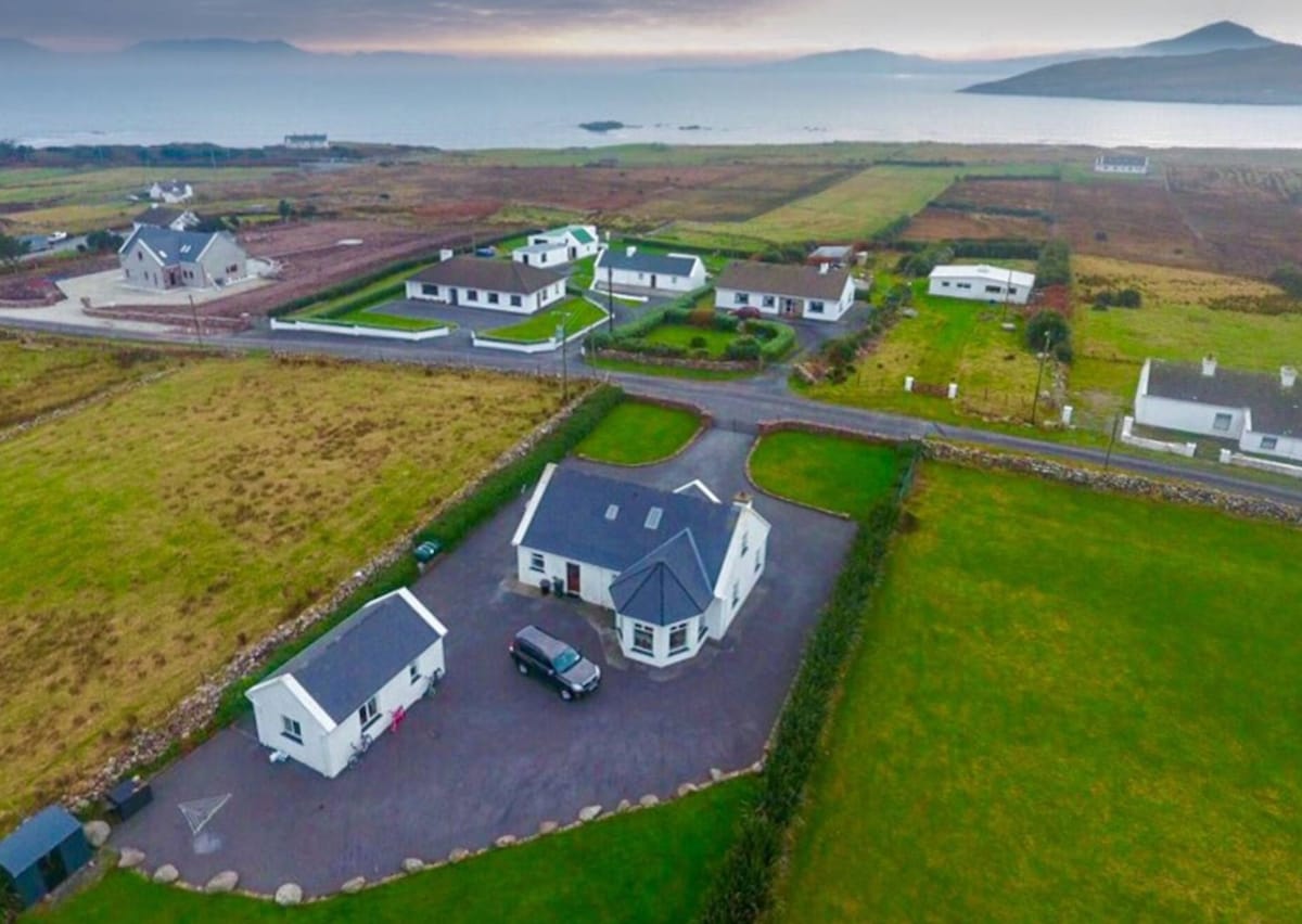 IndicatedFairy fort / earthen ringfort · 1.3 mi
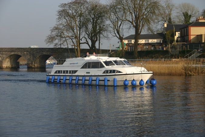 St Barrys BoatRitual site, holy/saint's stone (present location) · 1.5 mi
 St. Barry's WellSpring · 2.7 mi
 Long IslandIslet · 3.4 mi
 Lebanon CedarLebanon Cedar · 4.0 mi
 Bawn in Castleforbes DemesneBawn · 4.0 mi
 CastleforbesCastle · 4.0 mi
 Pedunculate OakPedunculate Oak · 4.2 mi
 Commons North WalkVisitor information · 5.5 mi
 First World War MemorialMemorial · 5.7 mi