What is recorded here
Situated at the E edge of a low plateau. The cropmark of a small circular enclosure (diam. c. 10m) defined by a fosse feature with an entrance gap at NE is visible on aerial photographs (MM (53) 18-20) and digital aerial photographs (WX007-063_1A to _7A) from 2006. It is also visible on the OSI series of aerial photographs (2005). Rath (WX007-062----) is c. 35m to the WSW, and rath (WX007-063----) is c. 140m to the SSW.
Compiled by: Michael Moore
Date of upload: 16 March, 2012
The monument record does not grant public access. Check the route and ask the landowner before entering private land.
- What survives
- Recorded monument
Places near here
 Embanked enclosureFairy fort / earthen ringfort · 677 yd
 Fulacht fia in AskFulacht fia · 769 yd
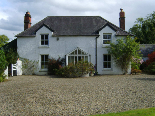 Ballytegan Housefarm house · 834 yd
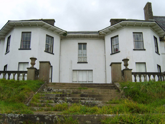 Ramsfort Housecountry house · 1311 yd
 Market HouseHeritage attraction · 1.7 mi
 Kia Ora Mini FarmHeritage attraction · 1.7 mi
 Johnston's gumJohnston's gum · 1.8 mi
 1798 MonumentMemorial · 2.0 mi
 Gorey HillMountain / peak · 2.4 mi
 Curragh WoodWood · 2.5 mi
 Laraheen HillMountain / peak · 2.6 mi
 CastleCastle, motte · 4.2 mi