What is recorded here
On a gently sloping terrace on a hill slope. Monument depicted on the 1st (1839) ed. OS 6-inch map and on the 1900 revision as a roughly circular area (diam. c. 30m) enclosed by a wide fosse (Wth c. 7-10m). The monument was levelled in 1972 and when inspected in 1987 it was under sillage dumps. On the Digitalgobe satellite image (viewed 17 January 2018) a cluster of farm buildings now occupy the site of the monument which is not visible at ground level.
Compiled by: Jean Farrelly
Date of upload: 17 January 2018
The monument record does not grant public access. Check the route and ask the landowner before entering private land.
- What survives
- Recorded monument
Places near here
 CastleCastle, tower house · 539 yd
 Enclosure in Ballycuddihy (galmoy By.))Enclosure · 649 yd
 Enclosure in BallyspellanEnclosure · 913 yd
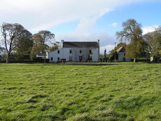 Ballyspellan Housefarm house · 1199 yd
 Temple DonaghmoreChurch · 1.0 mi
 Clomantagh HillMountain / peak · 1.2 mi
 John HelyMemorial · 1.4 mi
 DelaneyMemorial · 1.5 mi
 Street fieldArchaeological place · 2.2 mi
 Grangefertagh Castle (site)Archaeological place · 2.2 mi
 Kildrinagh WoodForest · 4.5 mi
 Anker's IslandIsland · 7.9 mi