
What is recorded here
In very low lying marshy terrain at the break between the flood plain and slightly higher ground to the E, in rolling grassland. There are good views in all directions. Depicted on the 1st (1839) ed. OS 6-inch map and 1900 revision as a circular enclosure (diam. c. 40m) with trees growing in the interior. Two field boundaries are depicted, one running roughly N-S along the outer edge of the W quadrant and the other running ESE-WNW from the SW quadrant. On field inspection in 1987 the W quadrant of the bank has been destroyed by the planting of a line of beech trees, now very mature, and by drainage channels. The remaining enclosure (dims. 30m N-S) is defined by a stoney bank (Wth 2m; int. H 0.6m; ext. H 0.7m) and external fosse (Wth 2m; D 0.5-0.6m). The interior and S side of the monument were very wet and boggy when visited.
Compiled by: Jean Farrelly
Date of upload: 16 January 2018
This remains an important historical record, but the official description says the monument is no longer visible or has been destroyed. The monument record does not grant public access. Check the route and ask the landowner before entering private land.
- What survives
- No visible remains or recorded as destroyed
Places near here
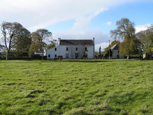 Ballyspellan Housefarm house · 287 yd
 Enclosure in BallyspellanEnclosure · 307 yd
 Enclosure in RathoscarEnclosure · 898 yd
 CastleCastle, tower house · 1339 yd
 farm housefarm house · 1723 yd
 DelaneyMemorial · 1.3 mi
 John HelyMemorial · 1.4 mi
 Grangefertagh Castle (site)Archaeological place · 1.7 mi
 Clomantagh HillMountain / peak · 1.7 mi
 Street fieldArchaeological place · 1.9 mi
 Kildrinagh WoodForest · 5.0 mi
 Anker's IslandIsland · 8.1 mi
Other information
Photo: Credit not shown in the picture search · Rights wording not checked; contact us if this picture should be removed