What is recorded here
Fairy forts hide in plain sight, wearing the clothes of ordinary farms. Ballyshane is no different: a broken earth bank, a shallow ditch, a concrete well, and a gap that still points south. The fairies did not leave a palace; they left a shape the land remembers. People walked through that gap for centuries, busy with life, never asking permission. The fort waits for eyes sharp enough to see the boundary between the seen and the unseen.
In tillage, on ENE-facing slope. Shown as circular enclosure on 1842 OS 6-inch map. S half of site remains (38.1m WSW-ENE) defined by earthen bank (H1.1m) E->W, with external fosse (D 0.8m). Bank stone faced in parts. Gap to S, used as gateway, leading to laneway running S. Well, at base of fosse to W, encased in concrete.
The above description is derived from the published 'Archaeological Inventory of County Cork. Volume 2: East and South Cork' (Dublin: Stationery Office, 1994). In certain instances the entries have been revised and updated in the light of recent research.
Date of upload/revision: 14 January 2009
The monument record does not grant public access. Check the route and ask the landowner before entering private land.
- What survives
- Recorded monument
Places near here
 Enclosure in Ballyshane (imokilly By.)Enclosure · 74 yd
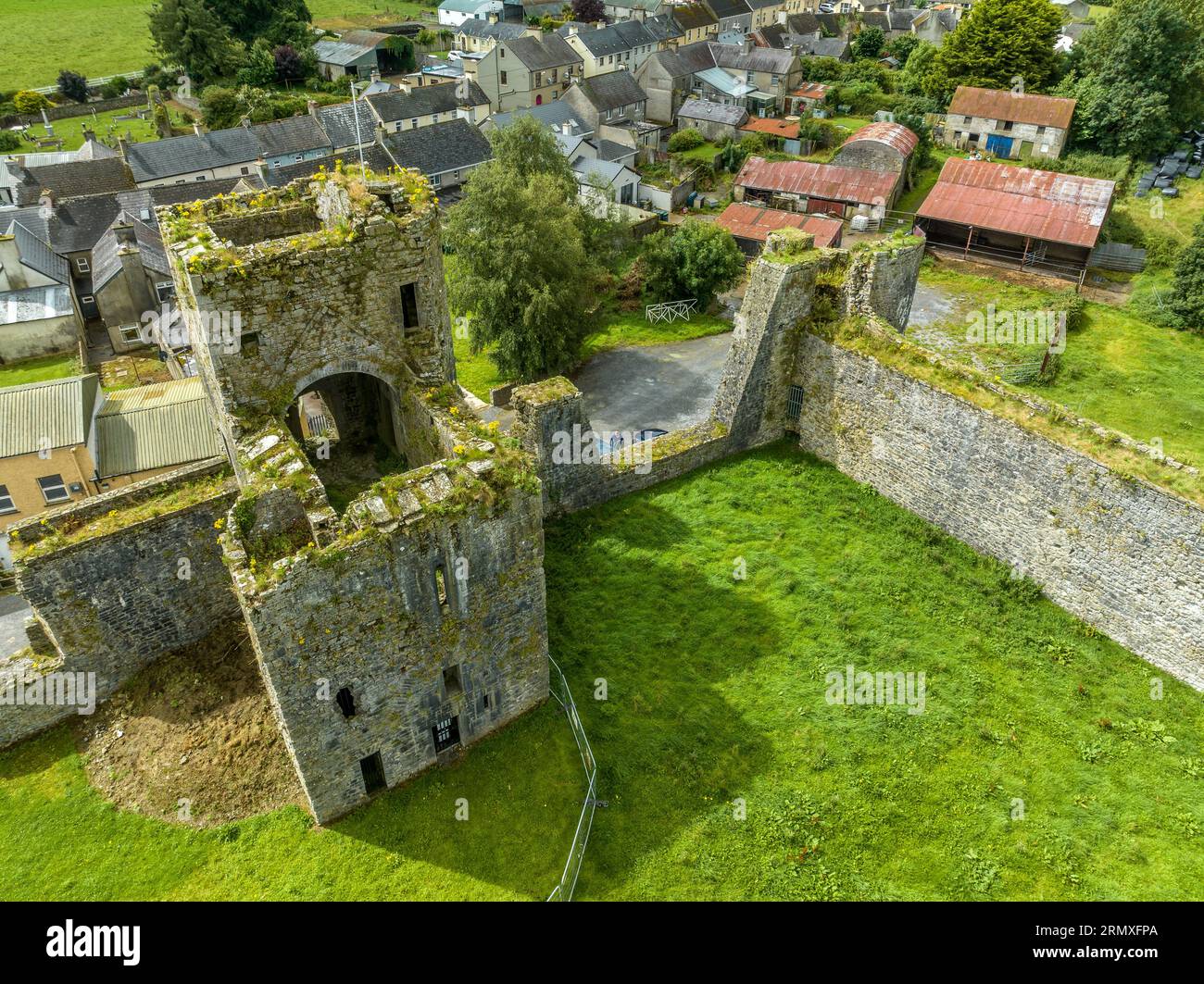 Enclosure in BallybranaganEnclosure · 799 yd
 Anchor The SagaMemorial · 1051 yd
 rectory/glebe/vicarage/curate's houserectory/glebe/vicarage/curate's house · 1715 yd
 Ballybrannigan BeachBeach / strand · 1722 yd
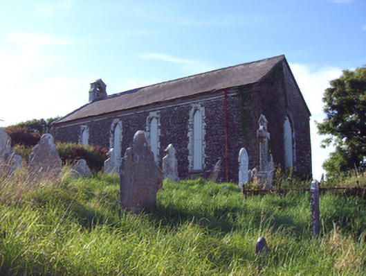 church/chapelchurch/chapel · 1.1 mi
 Doonpower (in Ruins)Castle, unclassified · 1.3 mi
 InchBeach / strand · 1.4 mi
 Fossil Worm TrackNamed rock · 1.5 mi
 RobertMemorial · 1.5 mi
 (Site of) CastleCastle, unclassified · 3.7 mi
 Trabolgan Holiday VillageHeritage attraction · 3.7 mi