What is recorded here
Hachured is a small circular burial mound in County Limerick, still visible as a scrub-covered earthwork in pasture near Ballyroe Upper. It appeared on maps as early as 1840, meaning people recognised the shape long before modern cameras confirmed it. The mound may have marked a death, a boundary or a local story now lost, but its persistence suggests it mattered enough to remain unchanged while fields and names shifted around it.
In pasture, 200m N of townland boundary with Ballyroe Upper. Depicted on the 1840 ed. OSi 6-inch map as a circular shaped platform defined by a scarp. Shown on the 1897 ed. OSi 25-inch map as a small circular shaped mound. Annotated 'Mote' on the Cassini ed. OSi 6-inch map. Small circular-shaped mound visible on Digital Globe orthoimage taken between 2011-2013. Visible as a scrub-covered earthwork on Google Earth orthoimages.
See attached Google Earth orthoimages
Compiled by: Fiona Rooney
Date of upload: 25 November 2021
The monument record does not grant public access. Check the route and ask the landowner before entering private land.
- What survives
- Recorded monument
Places near here
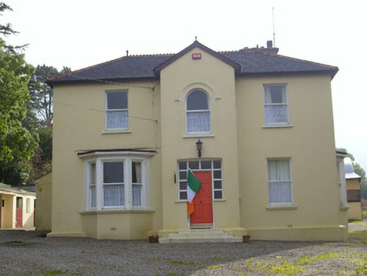 Hillsidehouse · 447 yd
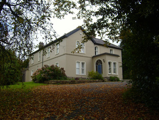 Glendove Househouse · 522 yd
 Furnace in KilfinnaneFurnace · 555 yd
 Man-made underground passageMan-made underground passage · 620 yd
 Ballyhoura tourist informationVisitor information · 681 yd
 Castle (in ruins)Castle, tower house · 843 yd
 Treada Na Ríogh (The Moat), hachuredCastle, motte · 852 yd
 Palatine's RockNamed rock · 1.5 mi
 Ballyhoura WayWalking route · 1.7 mi
 Gooseberry HillMountain / peak · 2.0 mi
 Keale MountainMountain / peak · 2.1 mi
 Ballinvreena LoopVisitor information · 2.9 mi