
What is recorded here
Lisnabrock is a fairy fort or earthen ringfort in Ballyquin (decies Within Drum By.), County Waterford, Ireland. The subcircular dished area measures 26 metres from northwest to southeast and 21.8 metres from northeast to southwest. An earth and stone bank forms the western and eastern edges, while a stone field bank incorporates the northern edge. The site sits in mixed woodland on a steep south-facing slope overlooking the sea about 300 metres away, with no visible fosse or entrance.
Located in mixed woodland towards the top of a steep S-facing slope overlooking the sea, c. 300m distant. Subcircular dished area (diam. 26m NW-SE; 21.8m NE-SW) defined by an earth and stone bank (at S: Wth 3.5m; int. H 0.2m; ext. H 0.4m) E-W, and incorporated into a stone field bank (at N: Wth 1m; ext. H 1m at N) elsewhere. There is no visible fosse or entrance.
The above description is derived from the published 'Archaeological Inventory of County Waterford' (Dublin: Stationery Office, 1999). In certain instances the entries have been revised and updated in the light of recent research.
Date of upload/revision: 10th October, 2011
Compiled by: Michael Moore
The monument record does not grant public access. Check the route and ask the landowner before entering private land.
- What survives
- Recorded monument
Places near here
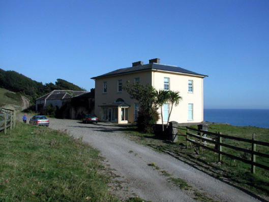 Ballyquin Househouse · 172 yd
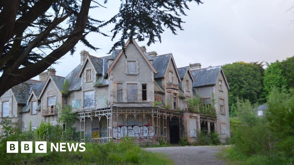 Fuge's/Haunted HouseRuins · 463 yd
 Ballyquinn BeachBeach / strand · 577 yd
 Man-made underground passage in Lissarow (decies Within Drum By., Ballymacart Par.)Man-made underground passage · 775 yd
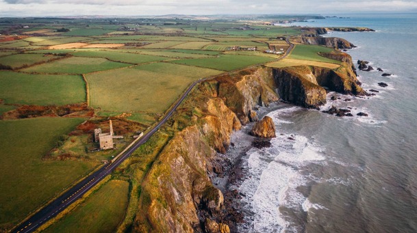 Embanked enclosureFairy fort / earthen ringfort · 1597 yd
 Curragh/Pebble BeachBeach / strand · 1604 yd
 Ardmore Cliff WalkWalking route · 2.2 mi
 Baile StairiúilVisitor information · 2.2 mi
 Ardmore Round TowerMedieval round tower · 2.4 mi
 CarronadavdergMountain / peak · 4.5 mi
 Cabin PointHeadland · 4.9 mi
 Site of CastleCastle, unclassified · 5.0 mi
Other information
Photo: Credit not shown in the picture search · Rights wording not checked; contact us if this picture should be removed