What is recorded here
Located towards the top of a gentle NE-facing slope. A large circular enclosure (diam. c. 90m) defined by a scarp at W and E, with traces of a fosse (Wth 11m; D 0.4m) and external bank (Wth 5m; H 0.4m) at SW and N was visible in 1987. The enclosure is truncated at S by a NE-SW field bank. There is no evidence of burial, although there is a local tradition of burial. It is regarded locally as a church, although there is neither historical documentation nor evidence of an ancient church structure. The cross (WX021-002----), now mounted on the road bank c. 200m to the S is thought to have been removed from the site. The ringwork castle (WX021-001----) is c. 80m to the SE.
At the centre of the enclosure are the grass-covered remains of a building (WX0231-022004-) that may be the O'Doran law-school of the 16th century, and remote sensing techniques have recorded elements of a field system (WX021-022003-) attached to the ecclesiastical enclosure at the E and N.
Since 2000 the site was fully researched by Kilkenny Archaeology for Peadar O Maoláin with a Hertiage Council grant, and an extensive area was surveyed with remote sensing techniques (Ó Drisceoil 2009). The ecclesiastical enclosure (dims. 112m x 103m) is defined by a fosse (Wth 4m) with probable entrance gaps at NE and W. At least three fields (WX021-022003-) are attached to the E and NE of the ecclesiastical enclosure.
Compiled by: Michael Moore
Date of upload: 15 June, 2012
The monument record does not grant public access. Check the route and ask the landowner before entering private land.
- What survives
- Recorded monument
Places near here
 Church in Ballyorley UpperChurch · 1 yd
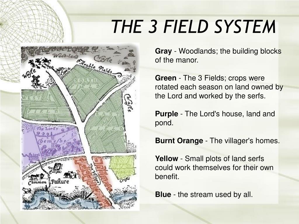 Field system in Ballyorley UpperField system · 73 yd
 IndicatedCastle, ringwork · 114 yd
 Stone CrossCross · 242 yd
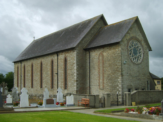 Saint Cormac's Catholic Churchchurch/chapel · 811 yd
 Father Murphy CentreHeritage attraction · 842 yd
 The CoilWood · 1.7 mi
 The GroveWood · 1.8 mi
 Oulart HillMountain / peak · 2.4 mi
 The HarrowMemorial · 2.7 mi
 Kilthomas HillMemorial · 2.7 mi
 Giants BedNamed rock · 2.8 mi