
What is recorded here
The crannog in Ballyogan is in County Sligo, Ireland. It occupies the centre of Lough Nascardigan, where maps from 1837 and 1913 show an oblong island measuring about 20 metres north-south and 10 metres east-west. The drained lake has become wet, marshy ground with a slightly raised, subrectangular area about 40 metres north-south and 25 metres east-wide, now covered by bog and dense scrub.
Centrally located in Lough Nascardigan. Shown as an oblong island (c. 20m N-S, c. 10m E-W) on the 1837 and 1913 OS 6-inch maps. The lake has been drained and the area is now occupied by very wet, marshy ground. At the location of the island there is a slightly raised subrectangular area (c. 40m N-S; c. 25m E-W) covered by bog and densely overgrown with scrub.
Compiled by: Patrick F. O'Donovan
Date of upload: 19 January 2011
The monument record does not grant public access. Check the route and ask the landowner before entering private land.
- What survives
- Recorded monument
Places near here
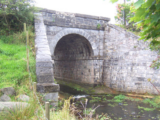 bridgebridge · 490 yd
 Enclosure in BallyoganEnclosure · 518 yd
 CastleCastle, unclassified · 1458 yd
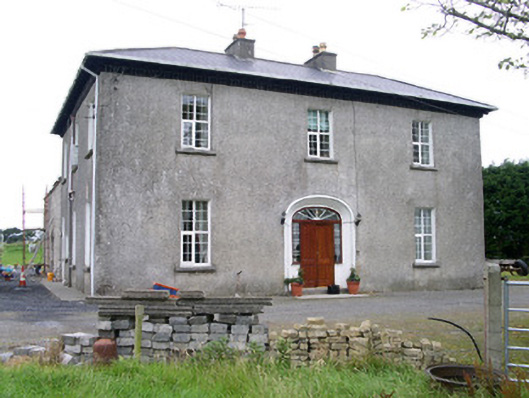 Oghil Housecountry house · 1479 yd
 Man-made underground passage in BallyoganMan-made underground passage · 1715 yd
 Ballynahowna CastleCastle, tower house · 2.7 mi
 Split RockNamed rock · 3.9 mi
 Wild Atlantic Way: Easky PierVisitor information · 4.6 mi
 Bunowna PointHeadland · 4.7 mi
 Jim Smith MemorialMemorial · 4.8 mi
 Wild Atlantic Way: Inishcrone PierVisitor information · 5.0 mi
 Grave of the Black PigArchaeological place · 5.0 mi
Other information
Photo: Credit not shown in the picture search · Rights wording not checked; contact us if this picture should be removed