What is recorded here
Fairy forts are human ringforts misnamed through folklore, not literal fairy architecture. In Ballyneety a 44.5m circular earthwork still marks a SSE-facing pasture slope, its scarped edge partly levelled where a farm track now cuts across. The name may record forgotten builders, displaced tenants, or simply the local tongue refusing to explain what the shape was for.
In pasture, on SSE-facing slope. Circular area (diam. 44.5m ENE-WSW) defined by scarped edge (H 1.05m; Wth 8m) N->WSW but enclosing element is levelled elsewhere; depicted as complete circular enclosure on 1841 OS 6-inch map but as in present condition on 1923 OS 6-inch map. Field boundary and farm trackway cross interior on ENE-WSW axis and scarp has been lowered at ENE and WSW to accommodate trackway. Interior slopes down to SE. Stream immediately to SE.
Compiled by: Denis Power
Date of upload: 26 August 2011
The monument record does not grant public access. Check the route and ask the landowner before entering private land.
- What survives
- Recorded monument
Places near here
 Castle (in ruins)Castle, tower house · 459 yd
 IndicatedFairy fort / earthen ringfort · 670 yd
 Ballyegny Househouse · 689 yd
 Mound in Ballyegny BegMound · 907 yd
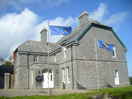 Rathgoonan Housecountry house · 1323 yd
 St. Luke's WellSpring · 1.3 mi
 CahermoyleCastle, unclassified · 1.4 mi
 St. Kieran's WellSpring · 2.3 mi
 European ashEuropean ash · 5.0 mi
 Askeaton CastleHeritage attraction · 6.0 mi
 Limerick GreenwayWalking route · 6.2 mi
 Gammarel PointHeadland · 6.5 mi