What is recorded here
In tillage. A circular enclosure (diam. c. 32m) identified on Google Earth Pro imagery (imagery date 28 June 2018) by Jean-Charles Caillère. There appears to be an entrance (Wth c. 3m) in the ESE.
See attached photograph:
KK004-058----_01 Image ©2019 CNEW/Airbus: Google Earth Pro satellite imagery (28 June 2018)
Compiled by: Jean Farrelly
Date of upload: 16 December 2019
The monument record does not grant public access. Check the route and ask the landowner before entering private land.
- What survives
- Recorded monument
Places near here
 Church (in ruins)Church · 208 yd
 Enclosure in BallynasleeEnclosure · 234 yd
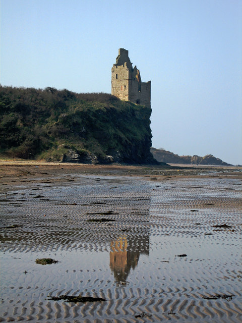 Enclosure in GrenanEnclosure · 441 yd
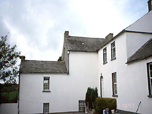 Grennan Househouse · 761 yd
 Anker's IslandIsland · 1438 yd
 CastleCastle, motte · 1653 yd
 Moat Castle (site of)Archaeological place · 1.6 mi
 Graveyard in SraleaghGraveyard · 2.3 mi
 Donaghmore WellSpring · 3.5 mi
 1798 MonumentMemorial · 4.2 mi
 Common LimeCommon Lime · 4.4 mi
 Pedunculate OakPedunculate Oak · 4.7 mi