What is recorded here
Situated on a W-facing slope overlooing the N-S Mahon river, c. 150m to the W and c. 500m NW of where the river enters the sea at Bunmahon Bay. This is an 18th or 19th century Church of Ireland church, and there is no reason to believe that it is on an ancient site.
Compiled by: Michael Moore.
Date of upload: 19th May, 2011.
The monument record does not grant public access. Check the route and ask the landowner before entering private land.
- What survives
- Recorded monument
Places near here
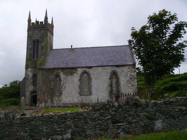 Knockmahon Church (Monksland)church/chapel · 1 yd
 Copper CoastCoastal geological landscape · 28 yd
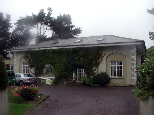 schoolschool · 40 yd
 Miners BucketVisitor information · 276 yd
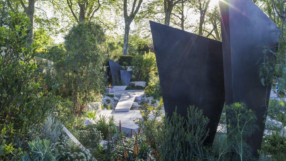 Geological GardenVisitor information · 297 yd
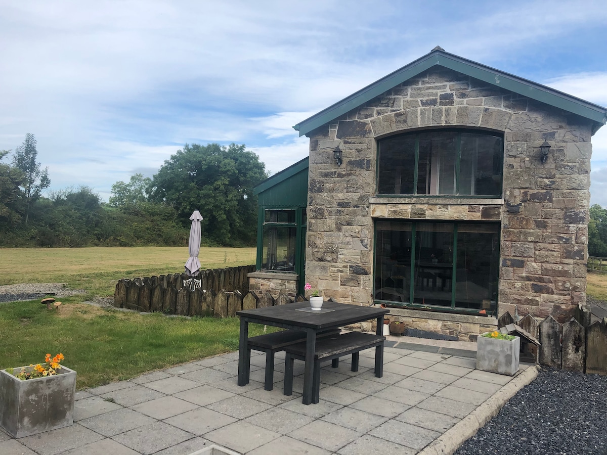 Embanked enclosureFairy fort / ringfort · 480 yd
 Bunmahon StrandBeach / strand · 524 yd
 Settlement desertedSettlement deserted, medieval · 1184 yd
 Tra na mBoBeach / strand · 1319 yd
 Ballydowane CoveBeach / strand · 1.8 mi
 St. Bernard's WellSpring · 2.1 mi
 Mandevilles RockCastle, unclassified · 2.1 mi