What is recorded here
Indicated is a circular earthen platform beside Odell Ville House in County Limerick, possibly a ringfort or a designed garden feature. It appeared on maps as a tree-planted scarp and remains visible today as an oval shadow in pasture. The boundary between human design and ancient defense has blurred under generations of grass and branch.
In pasture, on the desioned landscape of Odell Ville House located 170m to the N. D epicted on the 1840 ed. OSi 6-inch map as a circular-shaped platform (diam. c. 30m) defined by a scarp with interior planted with trees. Site indicated with a grove of trees on 1897 ed. OSi 25 inch map, possibly indicating the site of a tree-ring. Monument visible as an oval-shaped area overgrown with trees on OSi orthophotograph taken between 2005-12 and Google Earth orthoimages. Doubtful antiquity possible demesne landscape feature, or could be the remains of a ringfort reused as a tree-ring associated with Odell Ville House.
See attached Google Earth orthoimages.
Compiled by: Fiona Rooney
Date of upload: 20 April 2021
The monument record does not grant public access. Check the route and ask the landowner before entering private land.
- What survives
- Recorded monument
Places near here
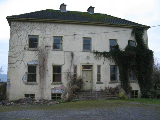 Odell Villecountry house · 362 yd
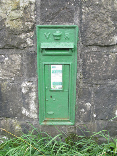 post boxpost box · 1039 yd
 Enclosure in Kilmihil (connello Upper By.)Enclosure · 1579 yd
 Burial Ground for ChildrenChildren's burial ground · 1.1 mi
 Hachured (1923).Castle, motte · 1.7 mi
 Lady's WellSpring · 2.1 mi
 Sunday WellSpring · 2.1 mi
 Famine stoneMemorial · 2.5 mi
 KnockfeerinaMountain / peak · 2.9 mi
 Lissamota CastleCastle · 3.0 mi
 European ashEuropean ash · 4.3 mi
 Flat cemetery in Kiltenan SouthFlat cemetery · 5.1 mi