
What is recorded here
The fairy fort or ringfort in Ballynakill (corkaree By.) is in County Westmeath, Ireland. This possible ringfort is situated on grassland with Lough Derravaragh sixty-five metres to the north-northeast and a levelled ringfort one hundred and sixty metres to the south-southwest. The 1837 Ordnance Survey Field Name Books recorded three ancient forts in the townland, and the site was depicted as a roughly oval-shaped grove of trees on the 1911 edition Ordnance Survey twenty-five-inch map. A November 2011 aerial photograph showed no surface remains of the levelled earthwork or the field boundaries that intersected the site at the south-southwest, west and north.
Situated on grassland with Lough Derravaragh 65m to NNE, levelled ringfort (WM007-039----) 160m to SSW. Depicted as a grove of trees and not as an antiquity on all editions of the Ordnance Survey six inch maps. On the 1911 ed. OS 25-inch map the possible monument is depicted as a roughly oval-shaped grove of trees with field boundaries intersecting the site at SSW, W and N. However the 1837 Ordnance Survey Field Name Books (No. 42, 4) recorded that in this townland there were '3 ancient forts' (WM007-039----/040----). The grove of trees marked on the six-inch map was believed to be one of the '3 ancient forts'. No surface remains visible of levelled earthwork or of the intersecting field boundaries on Digital Globe aerial photograph taken November 2011.
Compiled by: Frank Coyne and Caimin O'Brien
Date of upload: 13 April 2017
The monument record does not grant public access. Check the route and ask the landowner before entering private land.
- What survives
- Recorded monument
Places near here
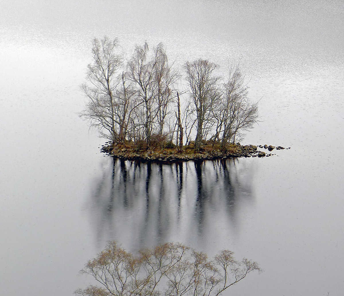 Crannog in Ballynakill (corkaree By.)Crannog · 209 yd
 Hut site in Ballynakill (corkaree By.)Hut site · 796 yd
 Mortimer's CastleArchaeological place · 1309 yd
 Donore Ho.House, 17th century · 1700 yd
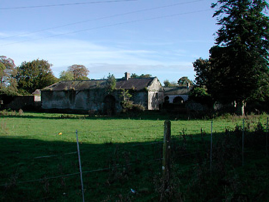 Donore Housefarmyard complex · 1721 yd
 Bawn in KiltoomBawn · 1.7 mi
 Bridge Memorial (Kenna)Memorial · 1.9 mi
 European BeechEuropean Beech · 3.0 mi
 Pedunculate OakPedunculate Oak · 3.2 mi
 Seafin HillMountain / peak · 8.4 mi
 Slieve GullionMountain / peak · 10 mi
 Zip WireHeritage attraction · 11 mi
Other information
Photo: Credit not shown in the picture search · Rights wording not checked; contact us if this picture should be removed