What is recorded here
Indicated is a vast hidden enclosure on a gentle Kildare slope, its broad curve preserved only in crop shadows and a recut field drain. Three smaller earthworks watch from the south while farmhouses sit inside the forgotten ring, turning ancient boundary into ordinary living space. The gap at the bottom may still mark the entrance used when the land first learned the shape of the circle.
On a long and very gentle S-facing slope in mixed tillage and pasture. A rath (KD014-002----) and two other enclosures (KD014-003----, KD014-004----) run in a SE-line immediately to the S. Aerial photographs (CUCAP AVO 83, 84; AVR 9. 1968) show a very large, sub circular area (est. diams. c. 300m N-S; c. 260m E-W) defined by a curving cropmark along N and ENE, the line of which is continued by a modern field boundary E-SW. A road bisects the monument E-W and farmhouses with extensive outbuildings and yards lie opposite one another in the interior, to the N and S of the road. There is no obvious visible surface trace of the cropmark, but its line is preserved by a hedged earthen bank (Wth 1.8-2.5; int H 0.5m; ext H 1.9m) and external fosse (Wth 2.6m; D 1.3m) recut as a field boundary drain E-SW. A gap (Wth 4.3m) with corresponding bridge (Wth 3.8m) at S may be on the site of an original entrance.
Compiled by: Gearóid Conroy
Date of upload: 10 June 2011
The monument record does not grant public access. Check the route and ask the landowner before entering private land.
- What survives
- Recorded monument
Places near here
 Enclosure in Ballynagappagh (clane Ed)Enclosure · 354 yd
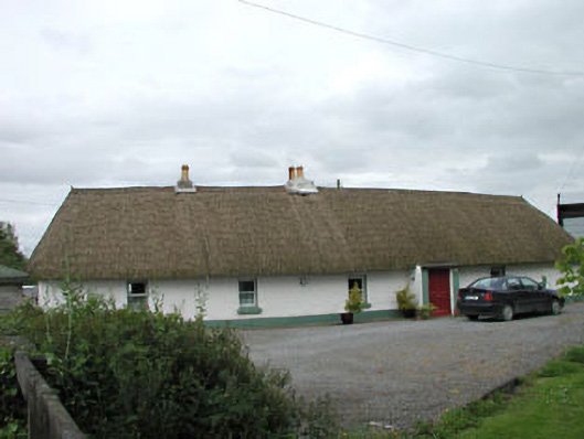 farm housefarm house · 979 yd
 Loughanure MoatEnclosure · 1190 yd
 Queen Buans GraveCastle, motte and bailey · 1468 yd
 Burial GroundRuins · 1562 yd
 1798 Rebellion MemorialMemorial · 1.2 mi
 CastleCastle, tower house · 1.2 mi
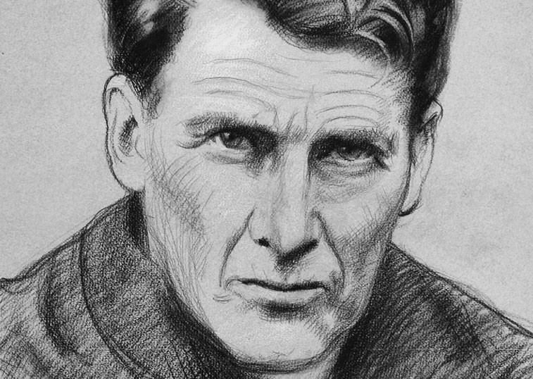 Venerable Fr John Sullivan MemorialMemorial · 1.4 mi
 Grand Canal WayWalking route · 1.9 mi
 Dunne's IslandWood · 1.9 mi
 The Kildare MazeHeritage attraction · 2.3 mi
 Loughtown CovertWood · 2.4 mi