What is recorded here
Fairy fort / earthen ringfort in Ballynafid is a fairy fort or earthen ringfort in Ballynafid, County Westmeath, Ireland. Situated on a ridge in rushy grassland, the site consists of a sub-circular area measuring 38 metres east to west and 40 metres north to south. It is enclosed by two banks of earth and stone with an intervening shallow fosse, while the inner bank is low and the outer bank is very poorly preserved with only slight traces visible. The uneven interior rises towards the centre, and a railway line lies 100 metres to the west.
Situated on a ridge in rushy grassland. Railway line 100m to W. Ringfort (WM011-070----) 360m to SE. A sub-circular shaped area (38m E-W; 40m N-S) enclosed by a two banks of earth and stone and an intervening shallow fosse. The inner bank is low, and the outer bank is very poorly preserved, with only slight traces visible. The uneven interior rises towards the centre.
Compiled by: Frank Coyne and Caimin O'Brien
Date of upload: 23 August 2017
The monument record does not grant public access. Check the route and ask the landowner before entering private land.
- What survives
- Recorded monument
Places near here
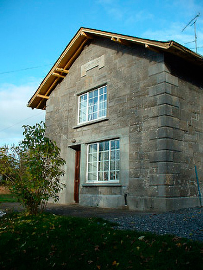 Clonhugh Railway Stationrailway station · 428 yd
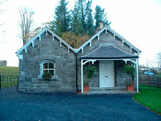 Clonhugh Housegate lodge · 525 yd
 OutlinedFairy fort / earthen ringfort · 699 yd
 Kilpatrick WellHoly well · 1276 yd
 CastleCastle, unclassified · 1.2 mi
 Bridge Memorial (Kenna)Memorial · 1.5 mi
 Carrick CastleCastle · 2.2 mi
 Scragh Bog Nature ReserveNature reserve · 2.4 mi
 Carrickphilbin IslandIslet · 2.7 mi
 Church IslandIsland · 2.8 mi
 Lady's IslandWood · 3.3 mi
 Saint Brigid's WellSpring · 4.3 mi