What is recorded here
Fairy fort / earthen ringfort in Ballynacourty is a fairy fort or earthen ringfort in Ballynacourty, County Tipperary, Ireland. It occupies a south-southeast-facing slope beneath Slievenamuck mountain, where a circular earthen bank and shallow ditch mark the boundary of the main chamber. The structure joins a slightly smaller ringfort to the south-southeast, while the connecting ditch becomes heavily overgrown between them.
On a SSE-facing slope in foothills of Slievenamuck mountain, in gently undulating terrain under lush meadow. A ringfort which is conjoined with a slightly smaller ringfort (TS073-008001-) to the SSE. A circular ringfort (diam. 32.7m NE-SW; 32.6m NW-SE) enclosed by an earthen bank (Wth 4.9m; int. H 0.94m; ext. H 1m) and fosse (Wth 2.6m) which is very subtle in NE quadrant. (Wth c. 2m; D 0.1m). The remains of an earthen field bank run N-S to the E of the monument. It is a fairly clean ringfort with some brambles in the interior and around the edge of the bank. The fosse between the two ringforts is heavily overgrown.
Compiled by: Jean Farrelly
Date of upload: 17 June 2014
A fairy fort or earthen ringfort in Ballynacourty is a circular early-medieval defensive or agricultural enclosure, likely dating to between the 6th and 10th centuries AD. It is associated with local folklore of fairy realms and otherworldly inhabitants, common in Irish tradition for such sites.
The monument record does not grant public access. Check the route and ask the landowner before entering private land.
- What survives
- Recorded monument
Places near here
 Ballynacourty HouseCastle, unclassified · 488 yd
 Enclosure in BallynacourtyEnclosure · 1004 yd
 Church (in ruins)Church · 1005 yd
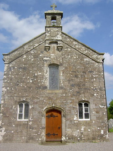 Saint Sedna's Church (Clongbeg)church/chapel · 1013 yd
 St. Johns WellHoly well · 1057 yd
 Bansha ForestForest · 1614 yd
 SlievenamuckMountain / peak · 1.5 mi
 Glen of AherlowViewpoint · 1.8 mi
 CurraghMountain / peak · 1.8 mi
 Site of Dungrot CastleCastle, unclassified · 1.8 mi
 Christ the KingViewpoint · 1.8 mi
 Giant's Rock - Rock of AglaishNamed rock · 1.9 mi