What is recorded here
Fairy fort / earthen ringfort in Ballynacor is a fairy fort or earthen ringfort in Ballynacor, County Westmeath, Ireland. Situated on a low natural rise on reclaimed grassland on the east side of the River Deel, the site is enclosed by a wide low earthen bank with an external fosse. The bank is reduced to a scarp from southwest through west, while the perimeter consists of a natural slope from north through northeast. A sub-circular annexe of approximately thirty metres in diameter on the north side is enclosed by an earthen bank, containing a double bank with an intervening fosse and low stony mounds.
Situated on a low natural rise on reclaimed grassland on the E side of the River Deel. The rise of ground is enclosed by a wide low earthen bank with external fosse. From SW-W the bank is reduced to a scarp, and from N-NE the perimeter consists of a natural slope. At the N side of the enclosure is a sub-circular shaped annexe (approx. diam. 30m) enclosed by an earthen bank, with a double bank and intervening fosse running through the interior, which also contains low stony mounds. Not depicted as an antiquity on any edition of the OS 6-inch maps.
Compiled by: Frank Coyne and Caimin O'Brien
Date of upload: 13 July 2018
The monument record does not grant public access. Check the route and ask the landowner before entering private land.
- What survives
- Recorded monument
Places near here
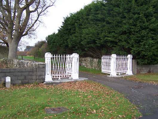 Dysart Housedemesne walls/gates/railings · 512 yd
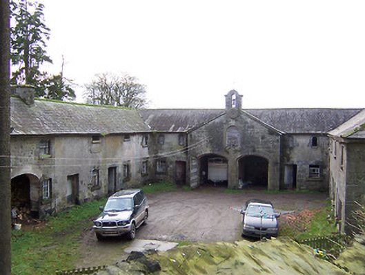 Rockview Housestables · 650 yd
 CastleCastle, unclassified · 971 yd
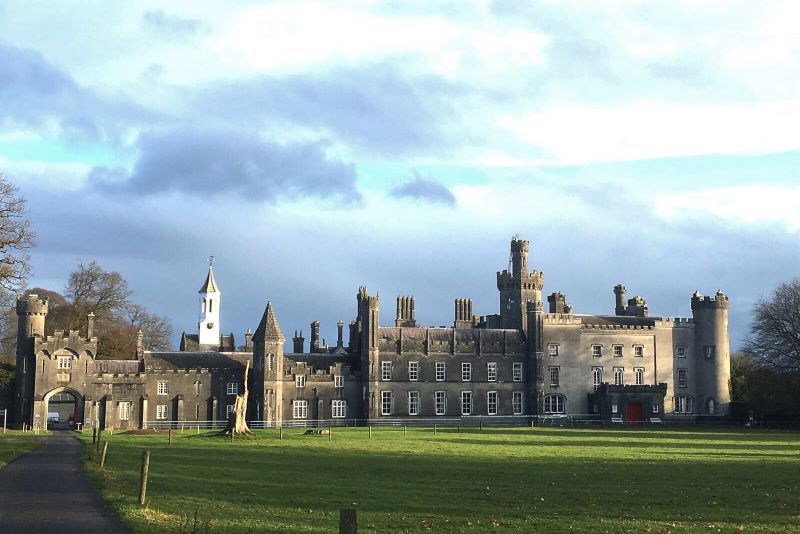 Mulchans Castle in ruinsCastle, tower house · 1098 yd
 OutlinedFairy fort / earthen ringfort · 1336 yd
 Font in Killulagh,williamstown (rochford)Font · 1573 yd
 GinkgoGinkgo · 1.6 mi
 The FurzeForest · 4.8 mi
 Kells HillMountain / peak · 7.2 mi
 Seafin HillMountain / peak · 8.2 mi
 Croppies' GraveMemorial · 11 mi
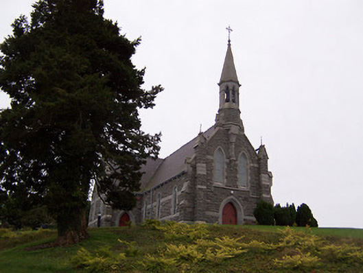 Saint Livinius's Catholic Churchchurch/chapel · 1586 yd