What is recorded here
Ballymurphy still carries a platform rath, though no modern hand has drawn its line. That much is clear. The rest belongs to imagination, since the facts provide no size, shape, date or story. A platform rath may have been a raised floor for trade, prayer or watchkeeping. It may have been a child's climbing hill, a storm-drained road or a forgotten boundary marker. The name resists invention. Keep it simple. A hidden platform remains in Ballymurphy, waiting for a witness brave enough to stop pretending the land is empty.
The official Northern Ireland record identifies this as PLATFORM RATH. Recorded period: E.CHRIST.. The official map point was placed at the centre of the recorded archaeological site from the source map reference.
The monument record does not grant public access. Check the route and ask the landowner before entering private land.
- What survives
- Recorded monument
Places near here
 Cross of SacrificeMemorial · 404 yd
 Milltown CemeteryGraveyard · 557 yd
 CHURCH, GRAVEYARD & ENCLOSURE (SITE OF): CALLENDER'S FORT, CHURCH OF CRANOGE, CHURCH OF CRAMAGH, CALENDER'S FORT in BallymurphyCHURCH, GRAVEYARD & ENCLOSURE (SITE OF): CALLENDER'S FORT, CHURCH OF CRANOGE, CHURCH OF CRAMAGH, CALENDER'S FORT · 993 yd
 CHURCH SITE (unlocated): CAPELLA DE CROOCKMOCK, CRAMAGH, CRANOGE in Malone LowerCHURCH SITE (unlocated): CAPELLA DE CROOCKMOCK, CRAMAGH, CRANOGE · 1219 yd
 Springhill Massacremass shooting · 1502 yd
 Battle at Springmartinbattle · 1516 yd
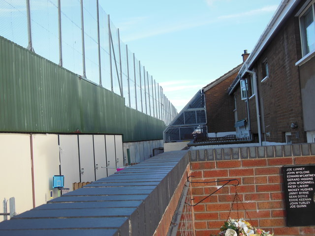 Clonard Martyrs MemorialMemorial · 1.2 mi
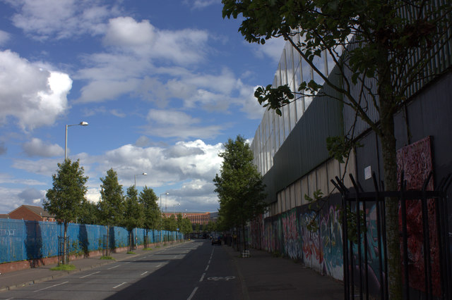 Peace WallHeritage attraction · 1.2 mi
 Lord Kelvin's StatueHeritage attraction · 1.4 mi
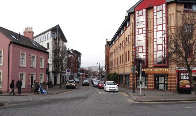 Sandy RowVisitor information · 1.5 mi
 The Crown BarVisitor information · 1.6 mi
 FORTIFIED HOUSE & ?BAWN (unlocated): MOSES HILL'S HOUSE in Malone LowerFORTIFIED HOUSE & ?BAWN (unlocated): MOSES HILL'S HOUSE · 1.7 mi