
What is recorded here
Croockmock, Cramagh and Cranoге appear together in one medieval church name, yet no visible building or marked ground remains for them in Malone Lower. The names sound like water, breath and a small creature moving through grass, which fits a place that may have worshipped beside a lane rather than on a hill. They are not lost so much as folded under the town, waiting to be recognized in the shape of its fields.
The official Northern Ireland record identifies this as CHURCH SITE (unlocated): CAPELLA DE CROOCKMOCK, CRAMAGH, CRANOGE. Recorded period: MEDIEVAL. The official map point was placed at the centre of the recorded archaeological site from the source map reference.
The monument record does not grant public access. Check the route and ask the landowner before entering private land.
- What survives
- Recorded monument
Places near here
 Cross of SacrificeMemorial · 1134 yd
 Ulsterville Presbyterian ChurchOffice · 1185 yd
 Lord Kelvin's StatueHeritage attraction · 1703 yd
 CHURCH SITE: FRIAR'S BUSH, CAPELLA DE KILPATRICK in Malone LowerCHURCH SITE: FRIAR'S BUSH, CAPELLA DE KILPATRICK · 1729 yd
 Ulster MuseumMuseum · 1733 yd
 FORTIFIED HOUSE & ?BAWN (unlocated): MOSES HILL'S HOUSE in Malone LowerFORTIFIED HOUSE & ?BAWN (unlocated): MOSES HILL'S HOUSE · 1.0 mi
 CHURCH, GRAVEYARD & ENCLOSURE (SITE OF): CALLENDER'S FORT, CHURCH OF CRANOGE, CHURCH OF CRAMAGH, CALENDER'S FORT in BallymurphyCHURCH, GRAVEYARD & ENCLOSURE (SITE OF): CALLENDER'S FORT, CHURCH OF CRANOGE, CHURCH OF CRAMAGH, CALENDER'S FORT · 1.0 mi
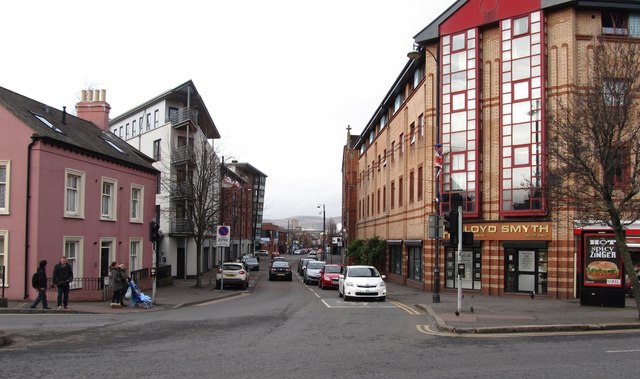 Sandy RowVisitor information · 1.1 mi
 The Crown BarVisitor information · 1.5 mi
 Springhill Massacremass shooting · 1.5 mi
 Rose & Crown Bar bombingbomb attack · 1.5 mi
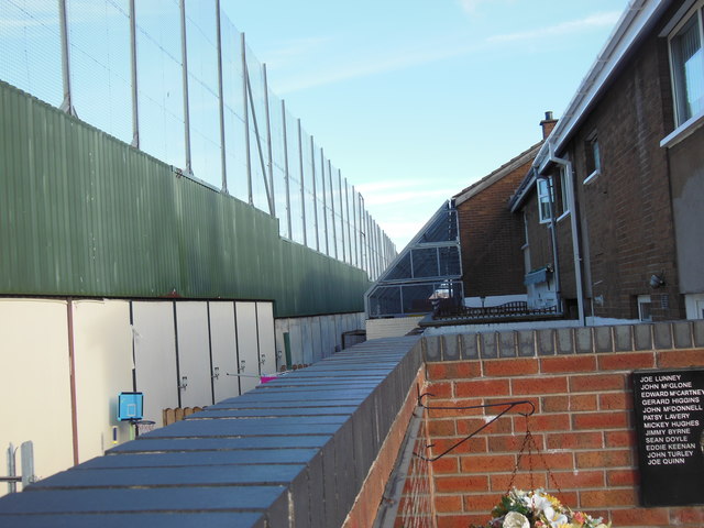 Clonard Martyrs MemorialMemorial · 1.5 mi
Other information
Photo: Credit not shown in the picture search · Rights wording not checked; contact us if this picture should be removed