
What is recorded here
Calender's Fort and the churches of Crannoge and Cramagh mark a medieval landscape where worship, burial and defence crossed. The names suggest a busy place, perhaps a hillfort beside a village church rather than a forgotten empty field. People may have lived around the enclosure, buried their dead nearby and defended the area when danger came. The lost detail is not absence; it is a reminder that ordinary life built the region before records preserved it.
The official Northern Ireland record identifies this as CHURCH, GRAVEYARD & ENCLOSURE (SITE OF): CALLENDER'S FORT, CHURCH OF CRANOGE, CHURCH OF CRAMAGH, CALENDER'S FORT. Recorded period: MEDIEVAL; UNCERTAIN. The official map point was placed at the centre of the recorded archaeological site from the source map reference.
A local fairy fort (ringfort/rath) associated with the medieval Church of Cranoige (Crane) and Calender's Fort, likely dating to the early medieval period. Local tradition links the site to ancient Christian settlement and folklore of fairy hauntings common to such raths in Irish tradition.
The monument record does not grant public access. Check the route and ask the landowner before entering private land.
- What survives
- Recorded monument
Places near here
 Milltown CemeteryGraveyard · 442 yd
 SUB-RECTANGULAR ENCLOSURE in BallydownfineSUB-RECTANGULAR ENCLOSURE · 651 yd
 Cross of SacrificeMemorial · 753 yd
 A.P. SITEA.P. SITE, enclosure · 1154 yd
 Battle at Springmartinbattle · 1479 yd
 Springhill Massacremass shooting · 1.0 mi
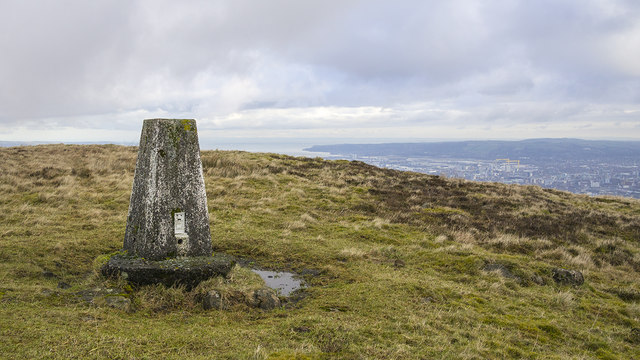 Black HillMountain / peak · 1.3 mi
 Black MountainMountain / peak · 1.7 mi
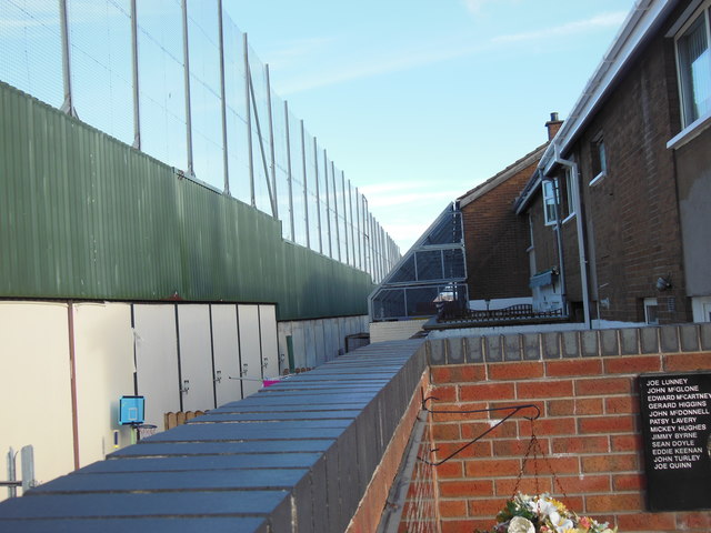 Clonard Martyrs MemorialMemorial · 1.7 mi
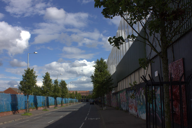 Peace WallHeritage attraction · 1.7 mi
 Lord Kelvin's StatueHeritage attraction · 1.9 mi
 Sandy RowVisitor information · 2.0 mi
Other information
Photo: Credit not shown in the picture search · Rights wording not checked; contact us if this picture should be removed