What is recorded here
Fairy fort / earthen ringfort in Ballymanus is a fairy fort or earthen ringfort in Ballymanus, County Westmeath, Ireland. It sits on a low round-topped natural rise surrounded by gently undulating and hilly land of poor to average pasture. The 1837 edition Ordnance Survey 6-inch map depicts a circular enclosure with farm buildings immediately to the south and west, while a field boundary running north to south intersects the perimeter at the east. A sub-circular area measuring 22 metres in diameter is defined by a low, poorly preserved earth and stone bank mainly reduced to a scarp, with no evidence of an enclosing fosse or entrance feature.
Situated on a low round-topped natural rise surrounded by gently undulating and hilly land of poor to average pasture. Depicted as a circular enclosure on the 1837 ed. OS 6-inch map with farm buildings immediately to S and W. On this map a field boundary running N-S is shown intersecting the perimeter of the monument at E. On the 1911 ed. OS 25-inch map only curving field boundary to the N of two farm buildings represents the S enclosing element of this ringfort. A sub-circular shaped area (diam. 22m) defined by a low poorly preserved earth and stone bank mainly reduced to a scarp with no evidence of an enclosing fosse or entrance feature. The interior is uneven rising very slightly from the perimeter towards the centre.
Compiled by: Frank Coyne & Caimin O'Brien
Date of upload: 9 December 2016
The monument record does not grant public access. Check the route and ask the landowner before entering private land.
- What survives
- Recorded monument
Places near here
 Hilltop enclosure in LittlewoodHilltop enclosure · 250 yd
 Partially hachuredFairy fort / earthen ringfort · 1151 yd
 Ballycomoyle National Schoolschool · 1151 yd
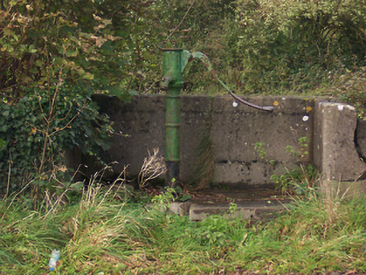 water pumpwater pump · 1379 yd
 Mullaghmeen ForestPicnic place · 1.1 mi
 Castle (in Ruins)Castle, unclassified · 1.2 mi
 Mullaghmeen Red WalkWalking route · 1.4 mi
 Mullaghmeen White WalkWalking route · 1.5 mi
 Rock of CurryCliff · 1.6 mi
 Hilltown Castle (in ruins)Castle, tower house · 1.6 mi
 MullaghmeenMountain / peak · 1.9 mi
 European ashEuropean ash · 3.0 mi