What is recorded here
Rick Zevering reported the Ballymalone standing stone on a low pasture hill, where sheep have worn the earth around its base into shallow cups. The stone leans southwest, rises toward the northwest, and keeps small edge marks that do not fit ordinary ogham. It is not grand, but it is still marked by life: rain, grass, hooves and time.
On a SE-facing slope on a low hill in pasture. A standing stone (max. H 1m; Wth 0.63m; T 0.25m) oriented NW-SE and leaning towards the SW, reported to the National Monuments Service by Rick Zevering. The top slopes and rises to the NW. Some striations occur along the E edge but these do not appear to be ogham. Large natural breaks are visible on the NW face. The stone is heavily poached by livestock around the base.
The following images have been uploaded:
CL036-049----_01.jpg General view from S
CL036-049----_02.jpg View from NE
CL036-049----_03.jpg View from SE
CL036-049----_04.jpg View from SW
CL036-049----_05.jpg View from NW
Compiled by: Mary Tunney
Date of upload: 9 May 2023
Probably dating to the Bronze Age, this standing stone may have had ritual or territorial significance. Its orientation and position on a hill slope could indicate alignment with seasonal or ceremonial practices, though specific folklore or use remains unrecorded.
The monument record does not grant public access. Check the route and ask the landowner before entering private land.
- What survives
- Recorded monument
Places near here
 Cornagnoe FortEnclosure · 1037 yd
 Enclosure in BallyvannanEnclosure · 1.4 mi
 Tuamgraney Community WoodlandsWood · 1.5 mi
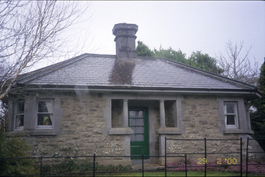 Raheen Manordemesne walls/gates/railings · 1.7 mi
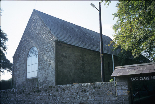 East Clare Heritage Centrechurch/chapel · 1.7 mi
 Common LimeCommon Lime · 1.8 mi
 Caherhurly Castle (in Ruins)Castle, unclassified · 2.1 mi
 Coolreagh Ho. (in Ruins)Castle, tower house · 2.4 mi
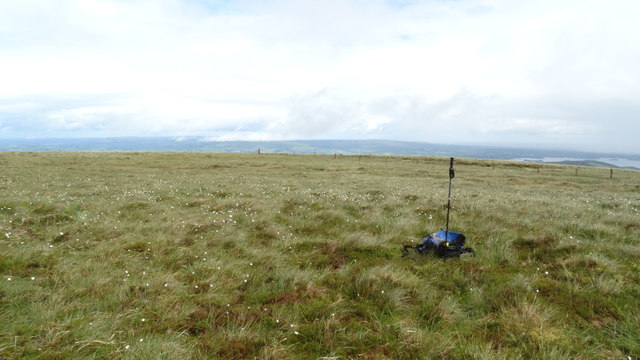 MoylussaMountain / peak · 2.8 mi
 Scarriff BayBay · 3.2 mi
 RockHeritage attraction · 3.9 mi
 Rinnaman PointHeadland · 3.9 mi