What is recorded here
Indicated was a circular enclosure about twenty-five metres across in County Limerick, visible on an 1841 map before quarrying removed it. The abandoned limestone quarry now occupies the same hill-slope, reaching four or five metres deep at the rear and hiding much of its edge beneath briars and thorns. Smaller quarried depressions still mark the east and west sides, preserving the shape of the loss even after the original boundary disappeared.
Monument, depicted on 1841 OS map as a circular enclosure (diam. c. 25m), has been removed by quarrying. The site is now occupied by a small abandoned limestone quarry (dims. 28m N-S; 30m W-E), cut into the hill-slope. Depth of quarry is c. 4-5m at rear and its edges are mostly covered by briars and thorn bushes. Some limestone rock exposed in places. There are smaller quarried depressions immediately to E and W.
Compiled by: Denis Power
Date of upload: 21 August 2012
This remains an important historical record, but the official description says the monument is no longer visible or has been destroyed. The monument record does not grant public access. Check the route and ask the landowner before entering private land.
- What survives
- No visible remains or recorded as destroyed
Places near here
 Castle (in ruins)Castle, tower house · 892 yd
 Mound in KnockbweeheenMound · 1143 yd
 Lisnagreeve - Hachured (1923Fairy fort / earthen ringfort · 1342 yd
 Kilcolman Church (in ruins)Church · 1405 yd
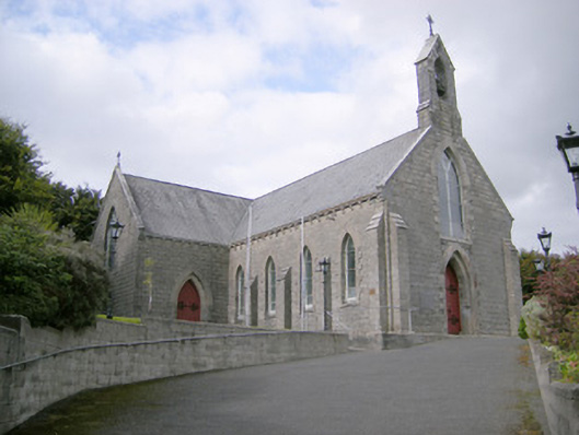 Saint Colman's Catholic Churchchurch/chapel · 1481 yd
 CahermoyleCastle, unclassified · 1.4 mi
 St. Luke's WellSpring · 1.5 mi
 St. Kieran's WellSpring · 2.9 mi
 European ashEuropean ash · 5.4 mi
 Limerick GreenwayWalking route · 5.6 mi
 Monterey CypressMonterey Cypress · 6.5 mi
 Gammarel PointHeadland · 6.6 mi