What is recorded here
Fairy forts are the dead places where the living forget they are dead. They are not fantasy, they are memory. The clue is shape. A ring is a ring. A chamber is a chamber. A stand of pines is a boundary marker, not a mistake. When several clues appear together, the fantasy drops away and the place stands clear.
On a gentle SE-facing slope in low-lying pasture, c. 55m to the N of an ENE-WSW flowing stream. A raised circular area (diam. 23.7m) enclosed by a low bank of earth and stone (Wth 3.8m; H 0.3-0.9m) an intervening fosse (Wth 3.2m; D 1m) and an outer substantial bank (Wth 4.35m; H 0.8m); its outer face has been modified and incorporated into a field boundary. The original entrance is not recognisable.
Compiled by: Patrick F. O'Donovan
Date of upload: 10 February 2012
The monument record does not grant public access. Check the route and ask the landowner before entering private land.
- What survives
- Recorded monument
Places near here
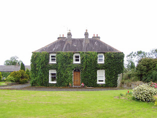 Williamstown Househouse · 554 yd
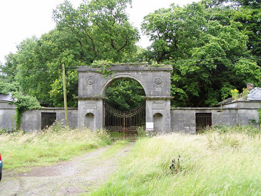 Carrigglas Manorgates/railings/walls · 710 yd
 Enclosure in Cooleeny,whiterockEnclosure · 736 yd
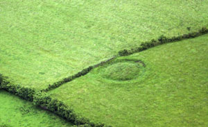 Fairy fort / earthen ringfort in ArdnacassaghFairy fort / earthen ringfort · 1758 yd
 CastleCastle, Anglo-Norman masonry castle · 1.5 mi
 Bawn in LissardowlanBawn · 1.5 mi
 Saint Mel's CathedralCathedral · 2.1 mi
 First World War MemorialMemorial · 2.2 mi
 Graveyard in Curry (ardagh By., Coolamber Ed)Graveyard · 4.3 mi
 Pedunculate OakPedunculate Oak · 4.8 mi
 Common LimeCommon Lime · 4.8 mi
 Granard MotteMotte-and-bailey castle remains · 10 mi