What is recorded here
Fairy forts are human ringforts misnamed by later folklore, often reduced to pasture boundaries or forgotten entirely. In Ballymacwilliam, a 27.6m circular bank and fosse still mark the edge of an ordinary lost residence. The name transforms a forgotten home into a child's warning, keeping the place alive through imagination rather than fact.
On a gentle WNW-facing slope in pasture. A slightly raised circular area (diam. 27.6m) enclosed by a bank of earth and stone with an external fosse. From SE-S-N the bank (Wth c. 3.3m) and fosse (Wth c. 2.9m) have been modified and incorporated into a field boundary. Elsewhere they have been levelled but their outlines are identifiable. The original entrance is not recognisable. A slight kink in a field boundary on the 1914 ed. of the OS 6-inch map probably mirrors the outline of the N sector of this rath.
Compiled by: Patrick F. O'Donovan
Date of upload: 26 August 2011
A fairy fort / earthen ringfort in Ballymacwilliam is a circular early-medieval defensive or agricultural enclosure, likely dating to between the 5th and 10th centuries AD. Local tradition associates such sites with the faerie folk, and they were often avoided or revered in rural Irish folklore.
The monument record does not grant public access. Check the route and ask the landowner before entering private land.
- What survives
- Recorded monument
Places near here
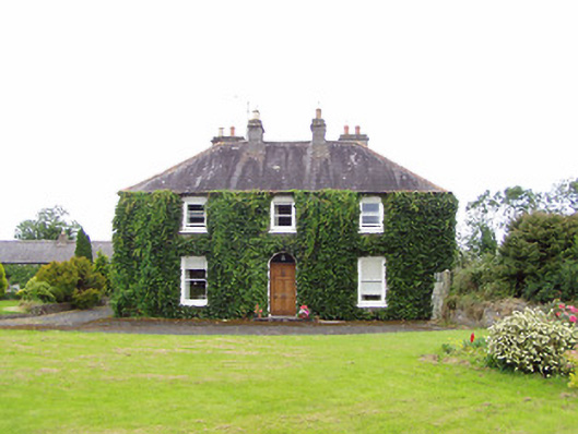 Williamstown Househouse · 398 yd
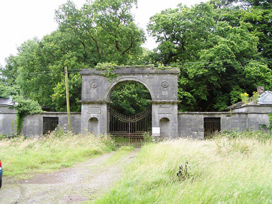 Carrigglas Manorgates/railings/walls · 741 yd
 Enclosure in Cooleeny,whiterockEnclosure · 826 yd
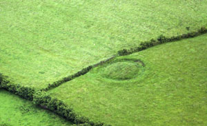 Fairy fort / earthen ringfort in ArdnacassaghFairy fort / earthen ringfort · 1681 yd
 CastleCastle, Anglo-Norman masonry castle · 1.6 mi
 Bawn in LissardowlanBawn · 1.6 mi
 Saint Mel's CathedralCathedral · 2.1 mi
 First World War MemorialMemorial · 2.2 mi
 Graveyard in Curry (ardagh By., Coolamber Ed)Graveyard · 4.3 mi
 Pedunculate OakPedunculate Oak · 4.7 mi
 Lebanon CedarLebanon Cedar · 5.0 mi
 Commons North WalkVisitor information · 11 mi