What is recorded here
Fairy forts are not places of whimsy but human memory: a circle of earth and stone where people lived, worked, and were buried. Ballymacwilliam’s ringfort stood at the top of a ridge, visible for miles, its boundary marked by a bank and a shallow ditch. Much of that shape has been levelled, but the land still holds a faint scar and a broken curve of the old ditch. What remains is not a complete fortress but a clue: a circle large enough for houses, yards, and lives, set where it could be seen.
At the highest point of a prominent NW-SE ridge in pasture. A report in 1975 (SMR file) recorded that a slightly raised circular area (diam. 39.4m) was enclosed by a low bank of earth and stone and an external fosse. The bank has since been levelled but a poorly defined scarp (max. H 0.5m) is evident from N-E-W. From W-N only its outline is identifiable. The fosse (Wth 3m; D 0.22m) survives from SE-S-NW. The original entrance is not recognisable. A pronounced kink in a field boundary on the 1914 ed. of the OS 6-inch map probably mirrors the outline of the rath from roughly SSE-NNW.
Compiled by: Patrick F. O'Donovan
Date of upload: 26 August 2011
A fairy fort or earthen ringfort in Ballymacwilliam is a likely early-medieval defensive or agricultural site, characterized by a circular enclosure with a bank and fosse. Local tradition associates such sites with fairy folklore, reflecting their enigmatic and otherworldly reputation in Irish cultural memory.
The monument record does not grant public access. Check the route and ask the landowner before entering private land.
- What survives
- Recorded monument
Places near here
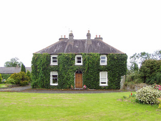 Williamstown Househouse · 331 yd
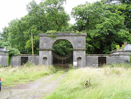 Carrigglas Manorgates/railings/walls · 1191 yd
 Enclosure in Cooleeny,whiterockEnclosure · 1401 yd
 Enclosure in CorradooeyEnclosure · 1440 yd
 Saint Mel's CathedralCathedral · 1.9 mi
 CastleCastle, Anglo-Norman masonry castle · 2.0 mi
 First World War MemorialMemorial · 2.0 mi
 Bawn in LissardowlanBawn · 2.0 mi
 Graveyard in Curry (ardagh By., Coolamber Ed)Graveyard · 4.3 mi
 Commons North WalkVisitor information · 11 mi
 Wild birdsVisitor information · 11 mi
 White Sand WoodWood · 11 mi